Our Phone Apps
We’re sharing what phone apps we use while we travel in hopes it will give you ideas for your travels. Some of these apps are specific to travel and some are not, but we have found them useful on the road. We grouped them into categories for you.
1. Camping
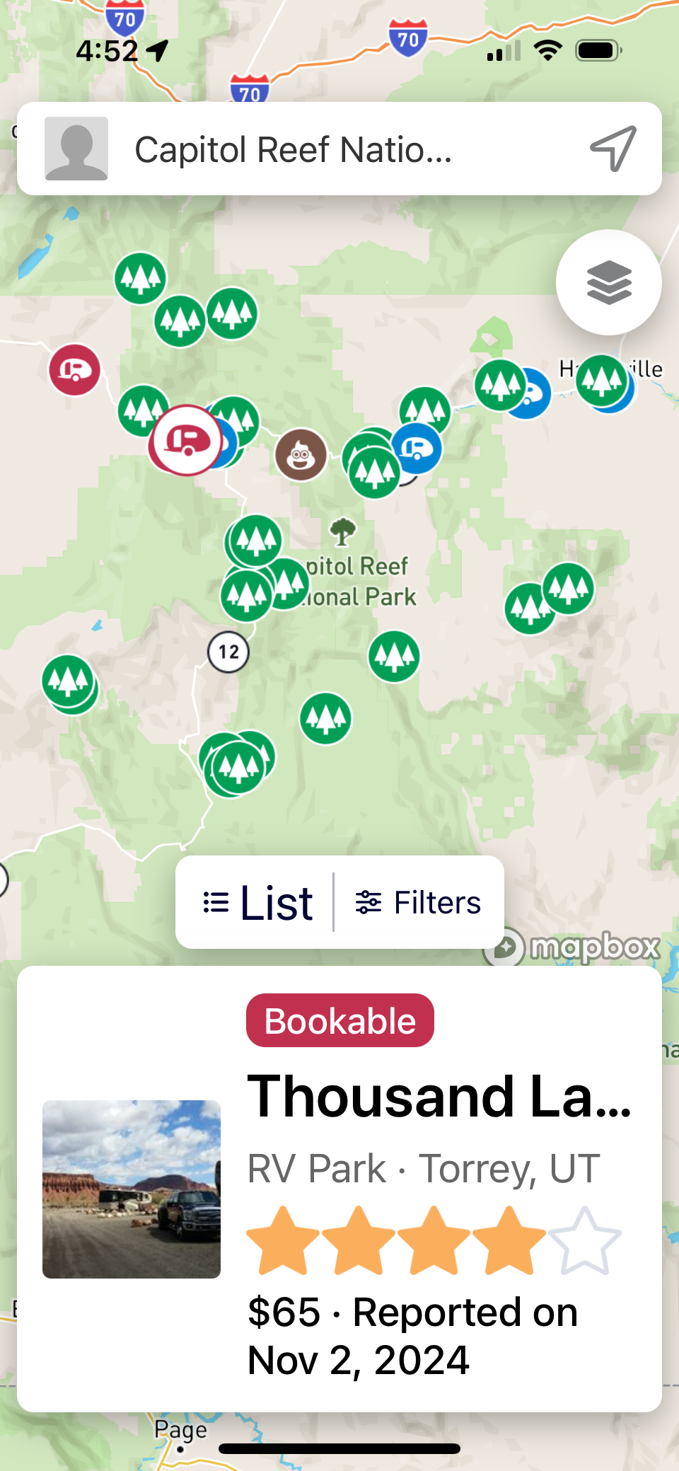
Campendium is the app we use the most to find campgrounds and check what amenities they have, such as dump stations and fresh water filling stations. While we are planning our trips, we use the Campendium website in a browser more than the phone app. But the phone app is nice to quickly look up information about a campground or find a campsite at the last minute due to a change in plans while we’re traveling down the road. We find the reviews by other campers and the detailed information invaluable. We’ve used AllStays a little bit, but mainly use Campendium. The base version of Campendium is free, but we have the Premium version through Roadtrippers. The paid version eliminates ads along with various additional filters and map overlays, but we believe the free version provides all the essential features. Campendium is now owned by Roadtrippers. We’ve tried using Roadtrippers trip planning, but it doesn’t match our style of trip planning (Trip Planning). If you mainly like to boondock in areas that allow free camping with no amenities, you may want to check out US Public Lands, iOverlander, and The Dyrt. We have not used these as we usually like having at least a bathroom of some type, even if it is only a pit toilet. plus we really don’t want to get stuck out on a bad dirt road.
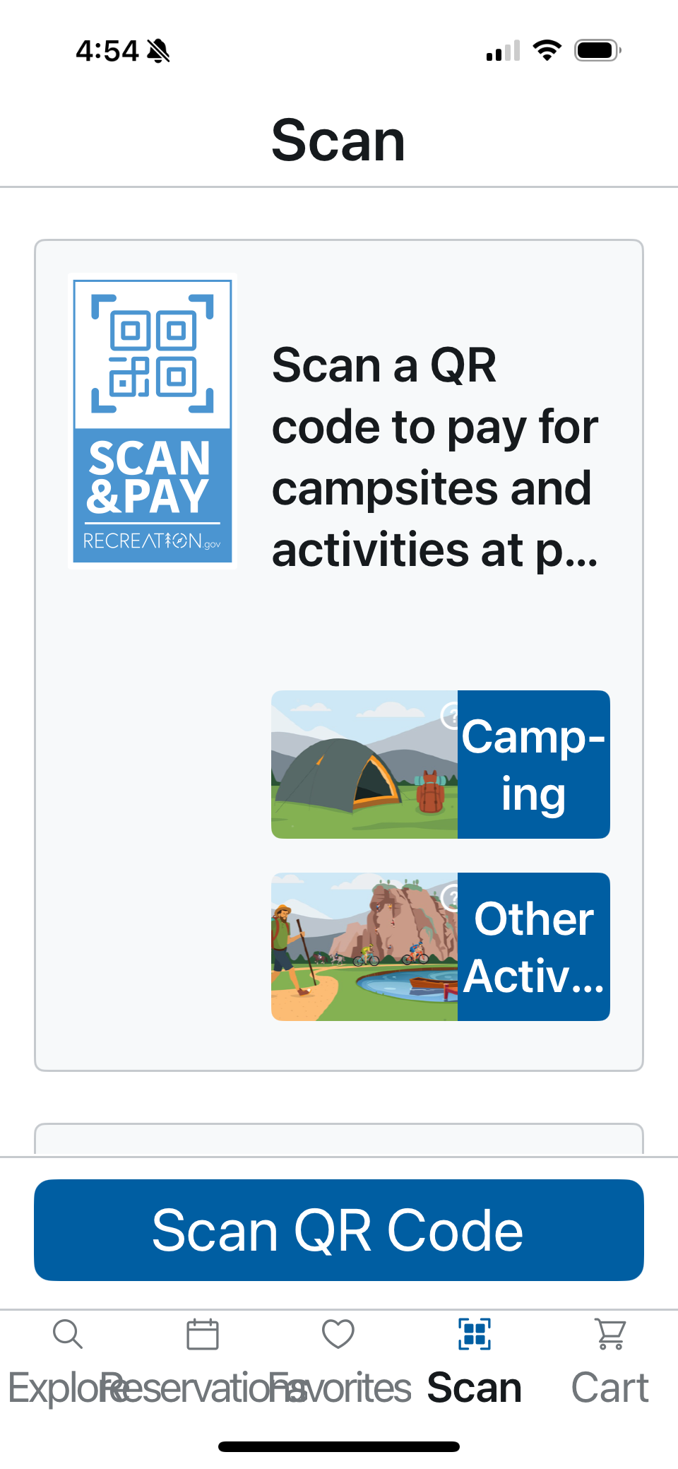
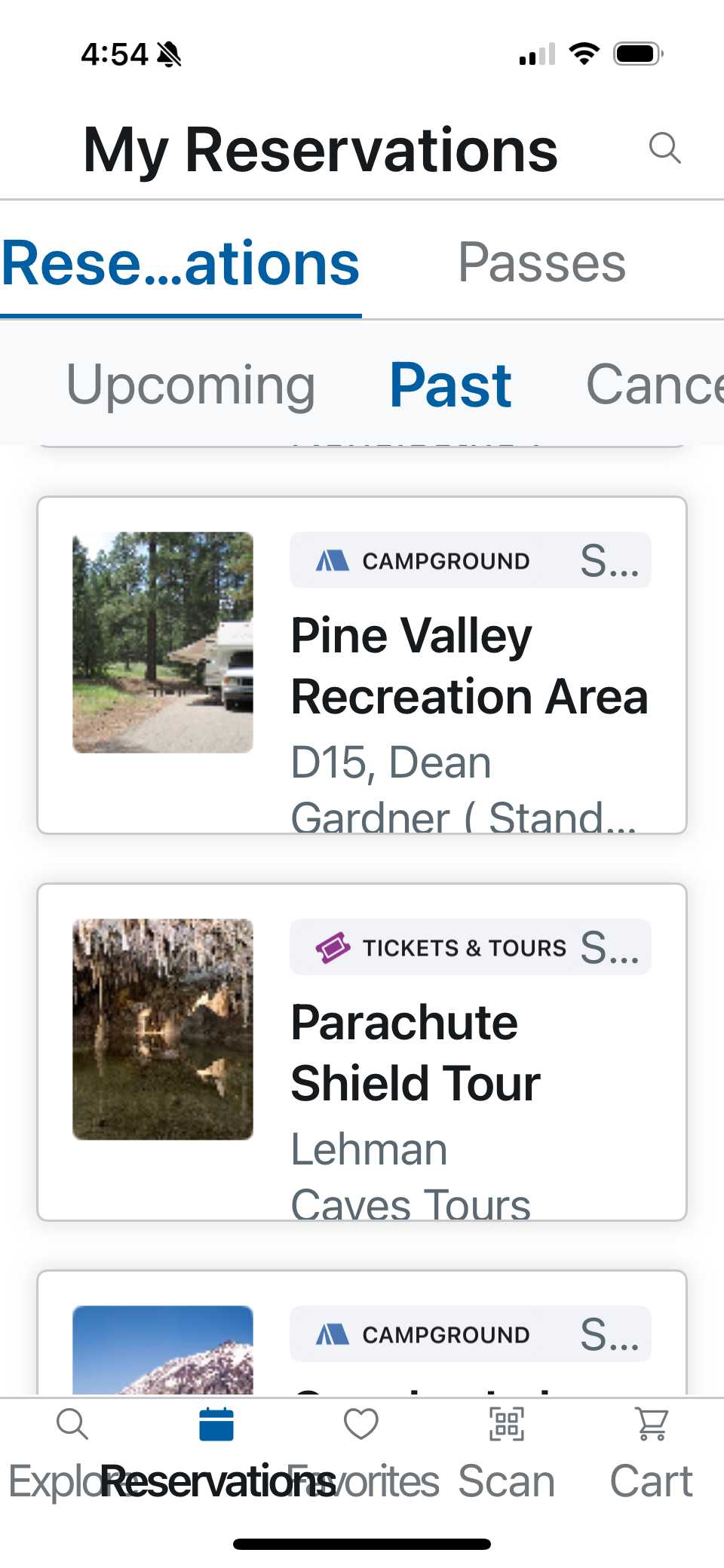
Another app we have used is from recreation.gov. (Note: the screen shots are from Ann’s phone who has the font size set to the max. Some applications don’t handle the large font size well.) Recreation.gov is the website where you go to reserve most federal campgrounds. Having the app on your phone allows you to pay for federal camp sites even when offline. However, you need to have it already installed on your phone before you lose cell service. Some federal campgrounds, such as some Forest Service campgrounds are first come/first serve. The app allows you to show up and pay for the site for campgrounds that support “Scan & Pay”, which is helpful when you don’t have the right amount of cash to deposit in an envelope. The payment will go through on your credit card once you have internet service again.
The app also gives you access to your reservations in your recreation.gov account. In addition to campground reservations, it also holds your tickets and passes for such things as cave tours or timed entry passes. For more information, go to their website: Mobile App - Recreation.gov.
2. RV Monitoring
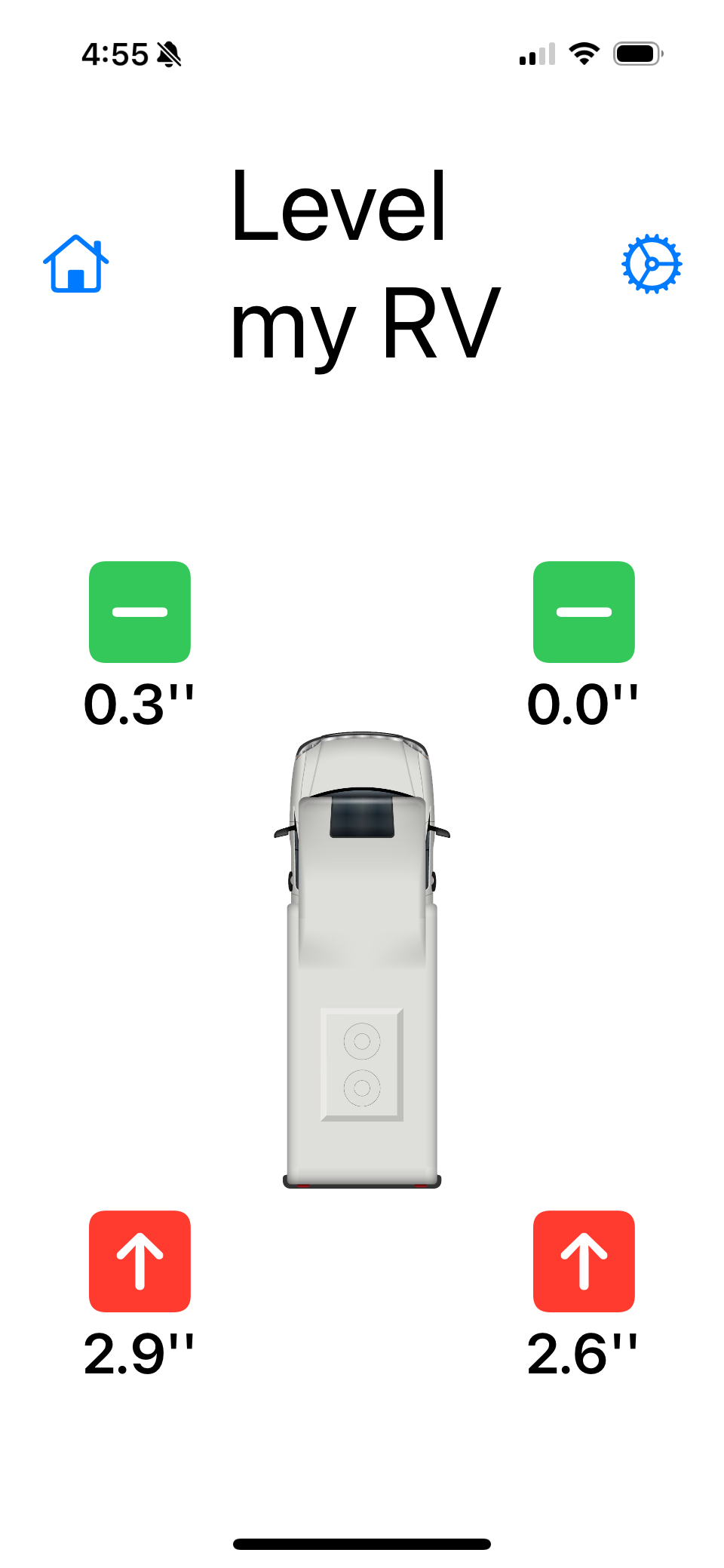
We use Level my RV app to determine how much we need to raise each wheel to achieve level. The app is free, easy to set up, easy to calibrate, and easy to use. We place the phone on a flat piece of the floor that the driver can reach and the app clearly indicates how many tenths of inches each wheel is off from level. We then try to move the RV to a different spot in the camp site to get closer to level, then decide which things to use to level if we are still off. If a wheel is off by less than two inches, we’ll use a 2x6 board. If it is off between two and four inches, we’ll use the GoTreads, with the appropriate amount of stacked folds. If it is off by more than four inches, we may stack the GoTreads on top of the 2x6’s.
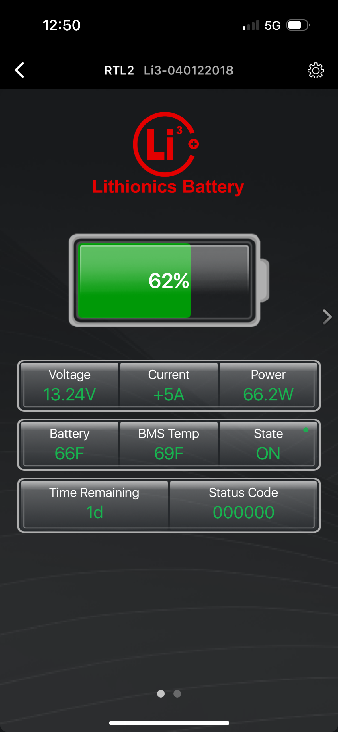
The Lithionics app shows us data on our Lithionics batteries. Only one of our phones can be connected to each of the batteries at any given time. Sometimes we have to open the app, close it, then open it again to get it to disconnect from our other phone. We have two Lithionics batteries in our EKKO. Unfortunately, the app only allows you to view the details of one battery at a time.
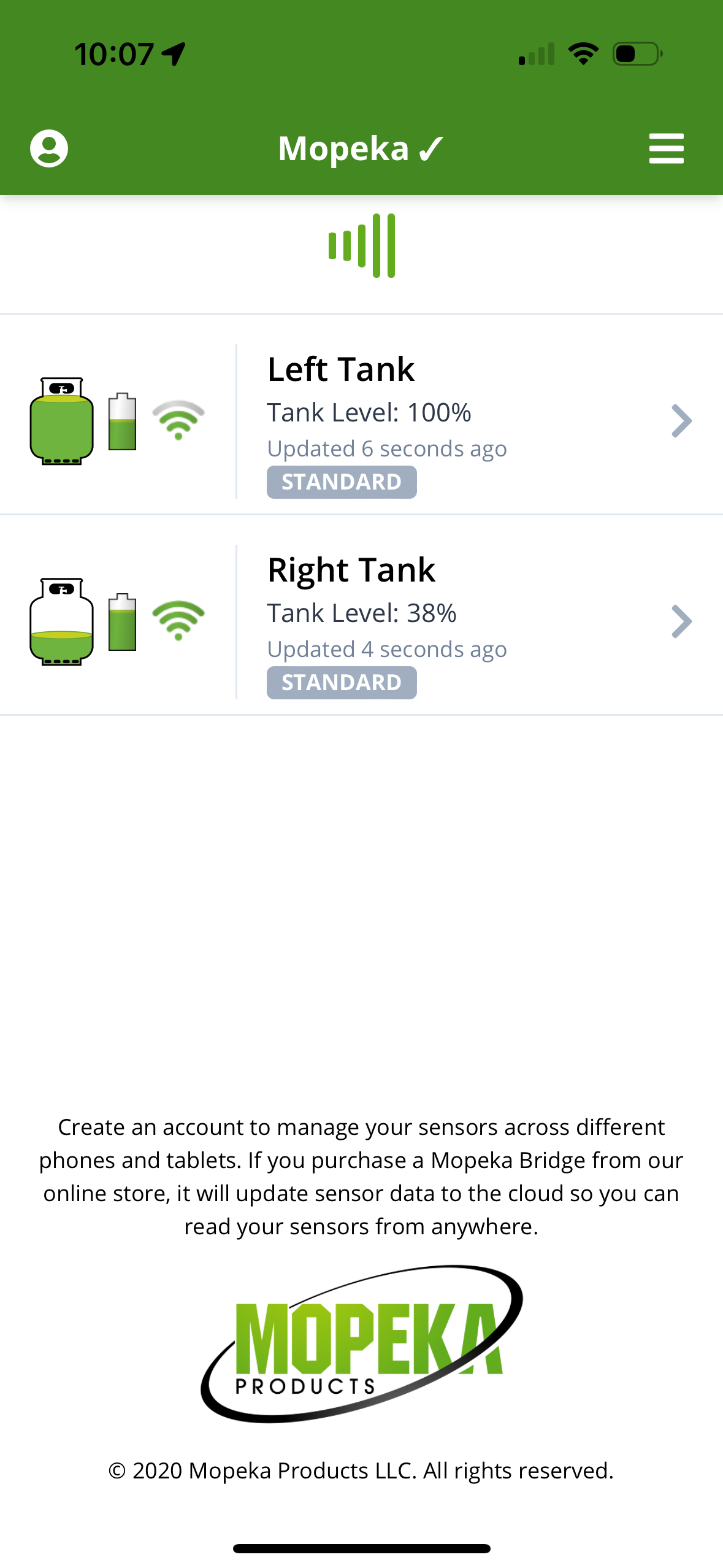
We have Mopeka sensors (paid link) on the bottom of our propane tanks, so we use the associated Mopeka TankCheck app to see the level of our tanks. The only drawback is that the batteries in the sensors barely last our long six month traveling seasons, so we have to remember to replace the batteries at the start of each season.
As we prepared for Season Six, we replaced our Xantrex control panel with the Bluetooth version (paid link). Being able to change the Xantrex inverter settings or to read errors that pop up from the Xantrex phone app is so much easier than going through the control panel.
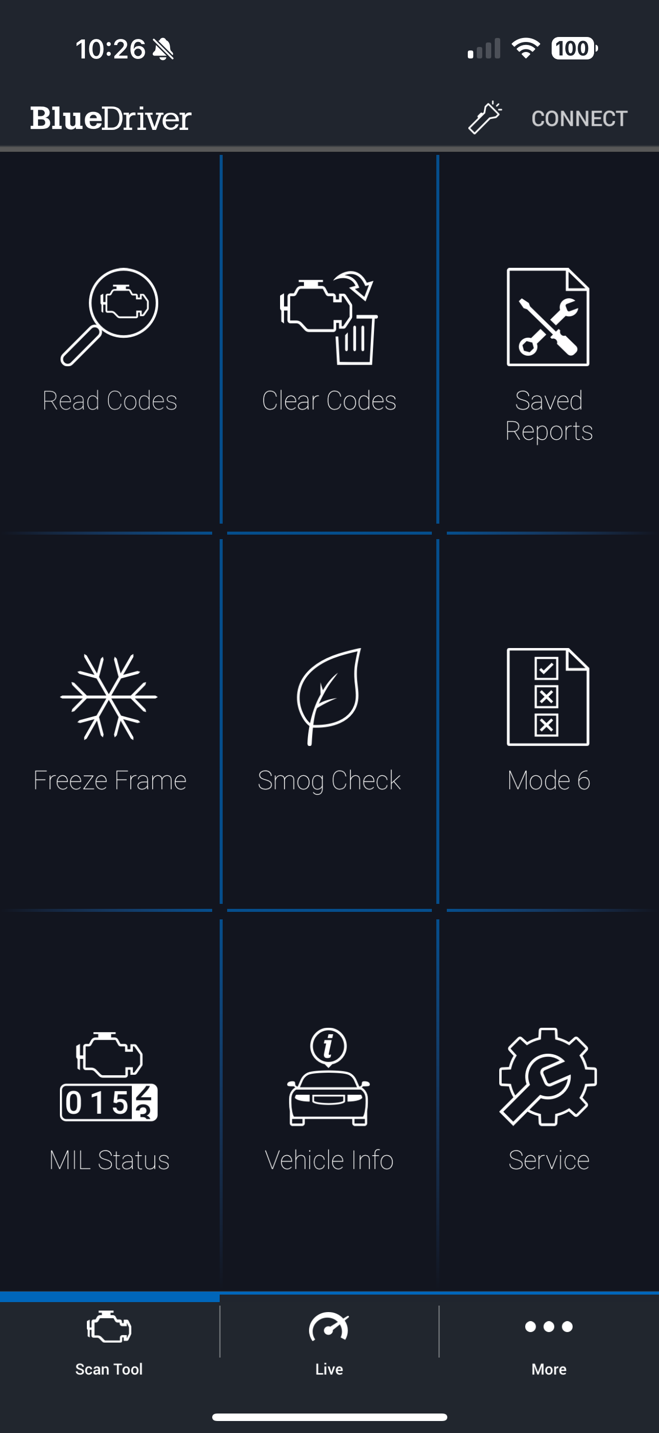
Being able to read and get info about error codes when something goes wrong with the Ford Transit can come in handy. We use a little Bluetooth device called Blue Driver (paid link). We used this on our Ford Transit VanDOit camper van in the past, so we continued using Blue Driver in our Winnebago EKKO. There is a little device that plugs into the OBD2 port under the dash on the driver’s side of the vehicle. Then there is an app for the phone that connects to it.
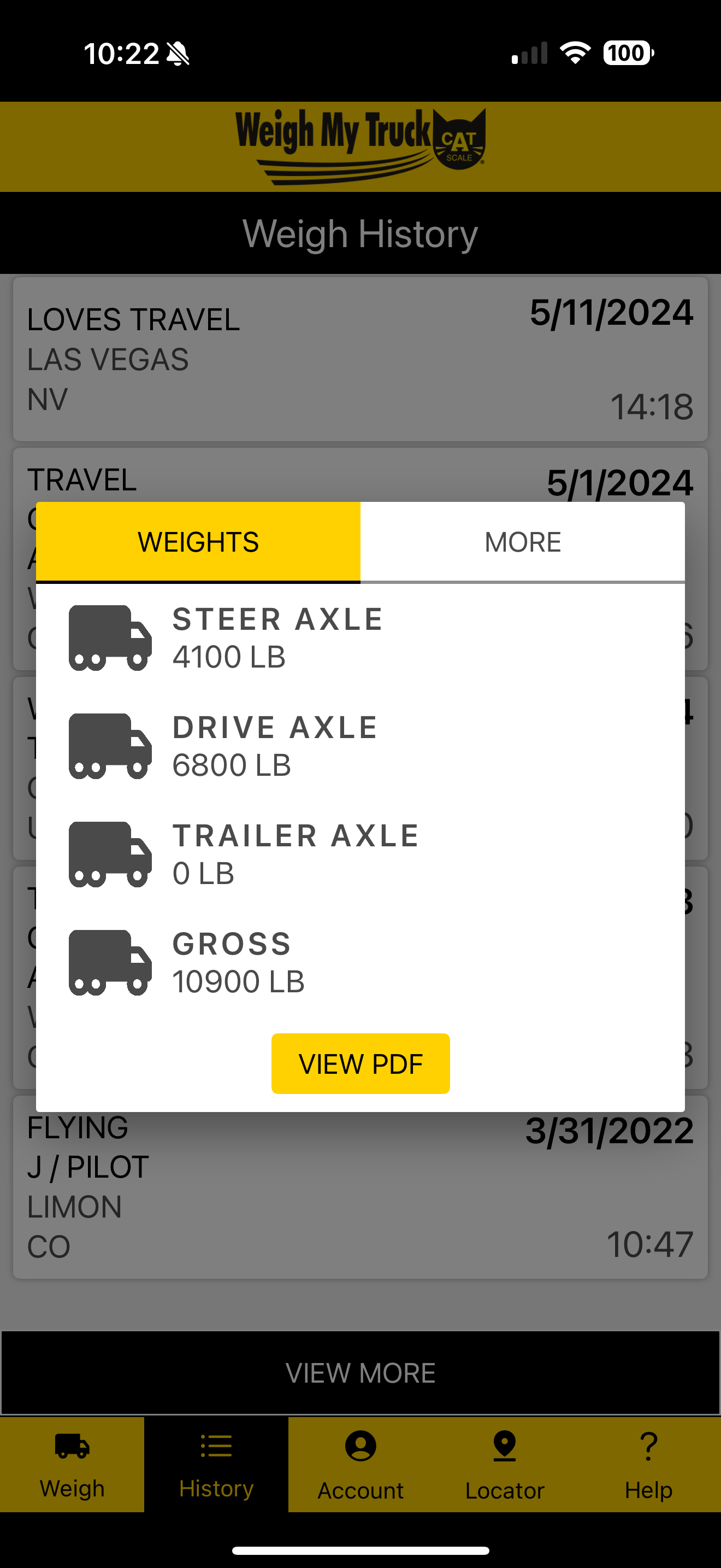
At the start of every travel season, with our rig ful.y loaded with all our gear, groceries, and a full fresh water tank and gas tank, we weigh our RV to make sure we are under our GVWR (Gross Vehicle Weight Rating). Sometimes we’ll weigh the RV during the season, if we think we have any significant weight changes. The easiest way to weigh an RV is to use a Cat Scale. Yup, those same scales that the truckers use. What makes it even easier is their Cat Scale Weigh My Truck app. No trying to talk to someone through a squeaky intercom. All you do is pull up onto the scale, enter the scale number, confirm the payment, and you’re good to go. The app not only shows you the results of your weighing, but keeps a history associated with your account. There is also a Cat Scale Locator app, but we just use Google Maps to find a Cat Scale near us. They are usually located in truck stops.
3. Navigation
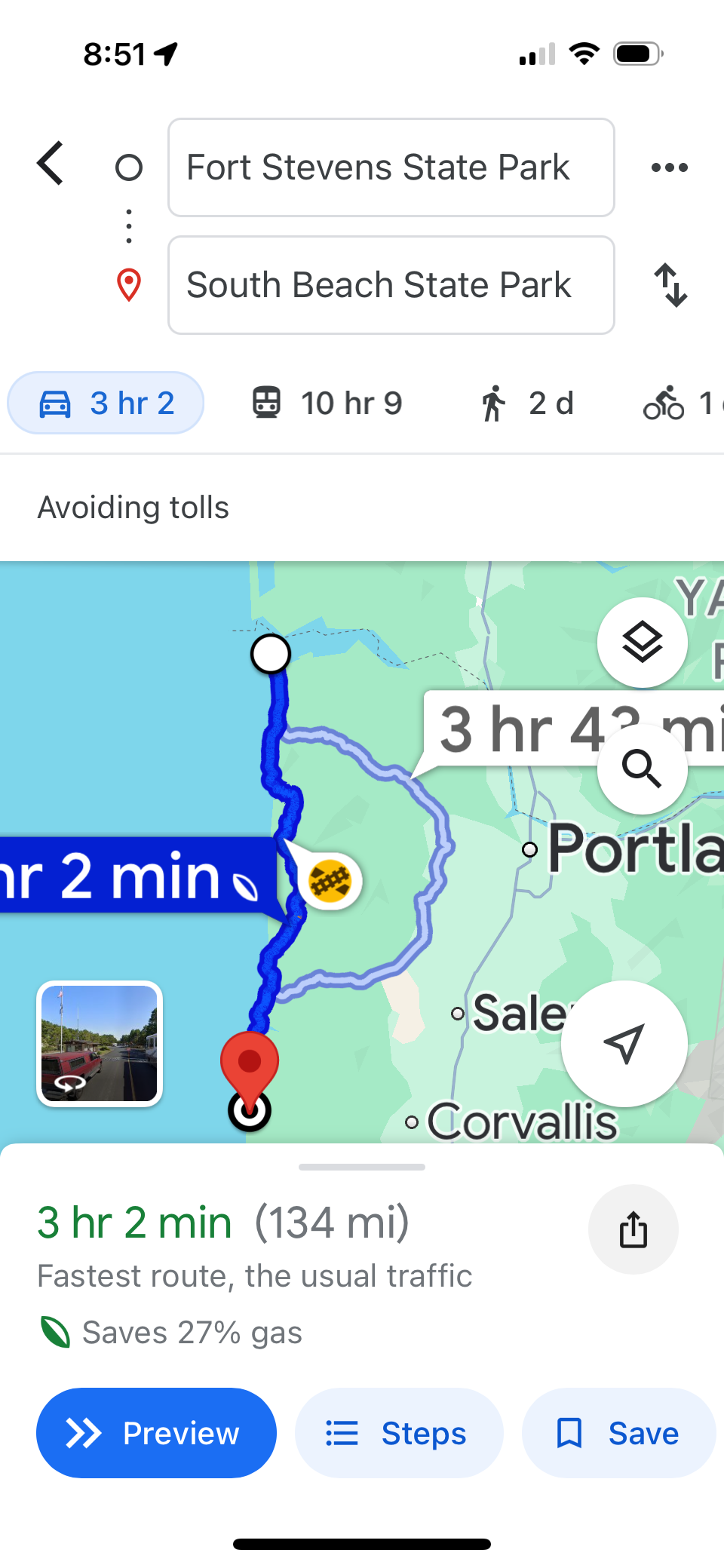
We use Google Maps. If our rig is small enough (23 feet long and 11 foot 1 inch tall), that we don’t use an RV specific GPS device. That means we just have to watch out for size restrictions ourselves. We’ve tried using a couple of different navigation apps that allow you to specify the length and height of your rig so you can avoid routes that don’t work. However, we found that they weren’t that reliable for us, so we returned to Google Maps. If we had a larger rig, we might use something else.
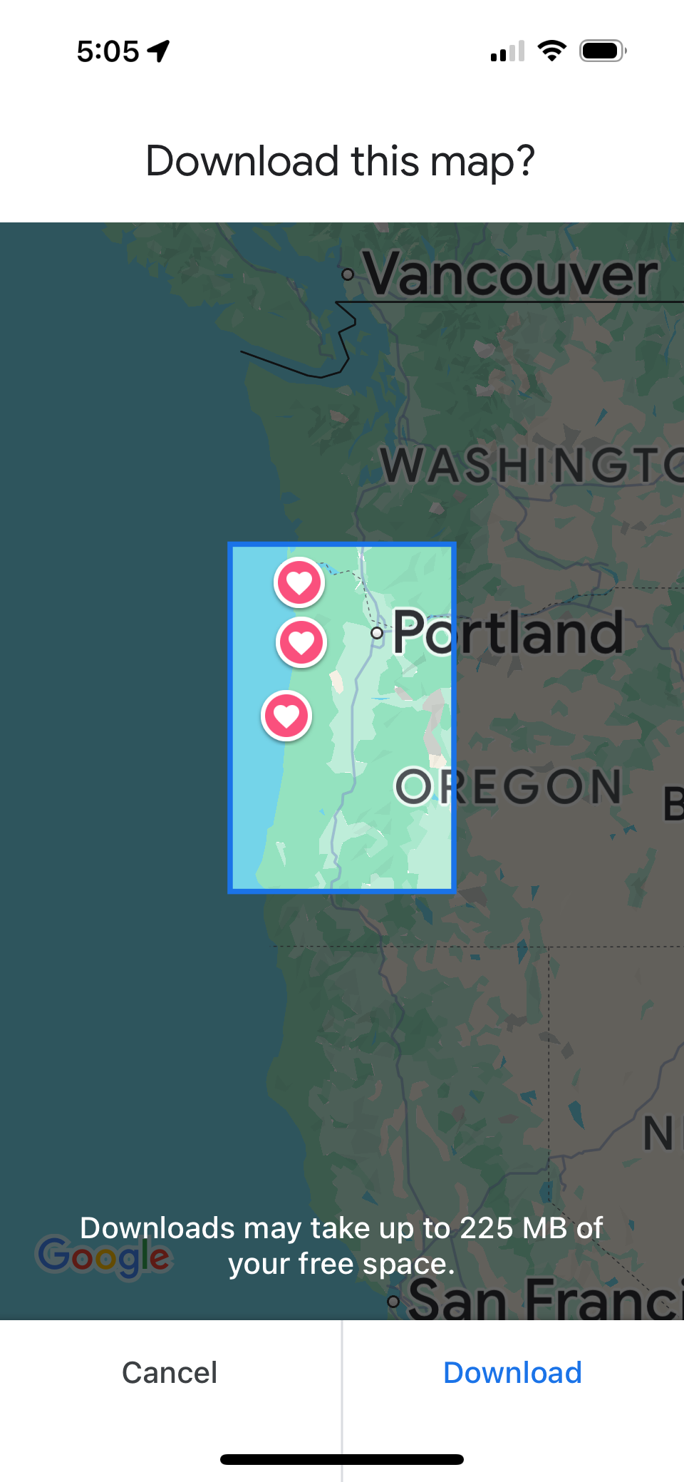
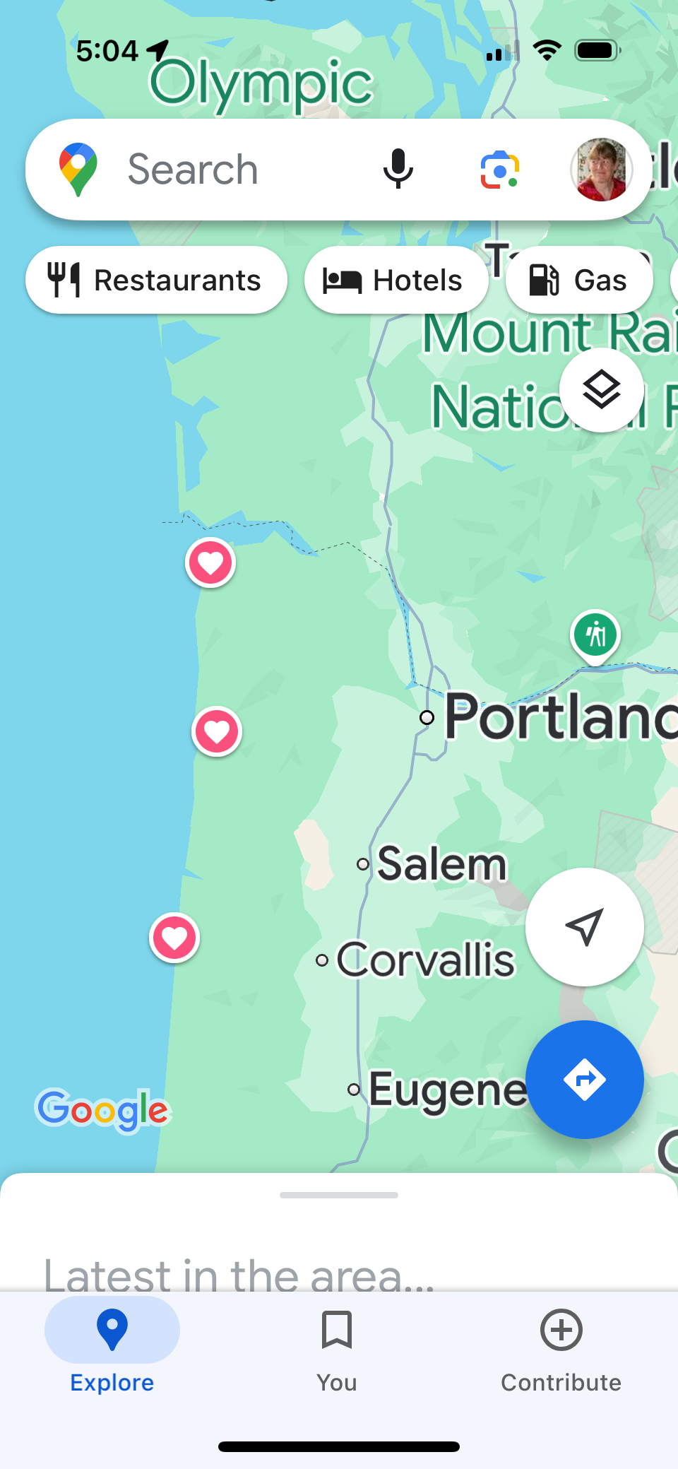
Since we like taking the back roads instead of the interstate highways, we find often find ourselves on roads with poor or no cell service. So we download offline maps in Google Maps to cover our route for the season at the start of the season. On occasion, not all of the maps for the season will fit on our phones, so we download as much as we can and set a calendar reminder to download the rest later in the season. We name each map that we download to make it easier to know which ones we can delete to make room for more. To get to offline maps in Google Maps, click on your profile picture in the upper right corner of the screen.
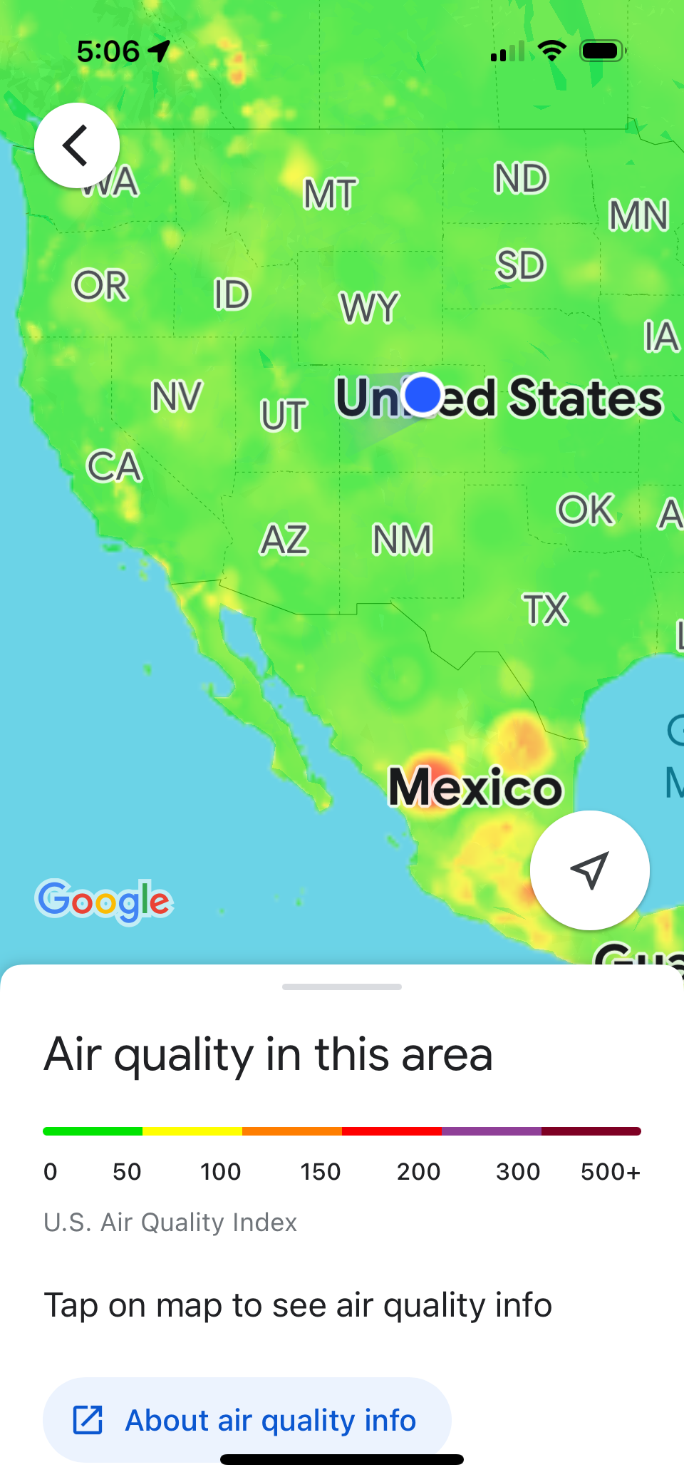
Google Maps is also good for seeing where the wildfires, and poor air quality areas are. This is especially helpful when traveling in the west during the summer and fall, during wildfire season. Wildfire and air quality are map layers which can be selected from the layers icon in Google Maps.
We’ll also save places to our Favorites in Google Maps that we want to stop and see, whether it is a restaurant, overlook, or a tourist attraction. These are not typically added at the start of the season, but as we plan out the next day or two.
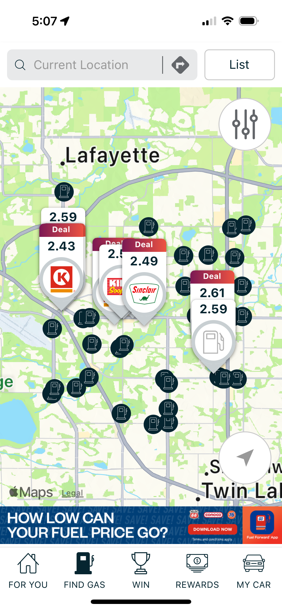
In the past, we have used the Gasbuddy app. Gasbuddy is good for finding gas stations with the cheapest prices. However, Google Maps now displays the prices for gas stations, so we’ve stopped using Gasbuddy.
4. Hiking
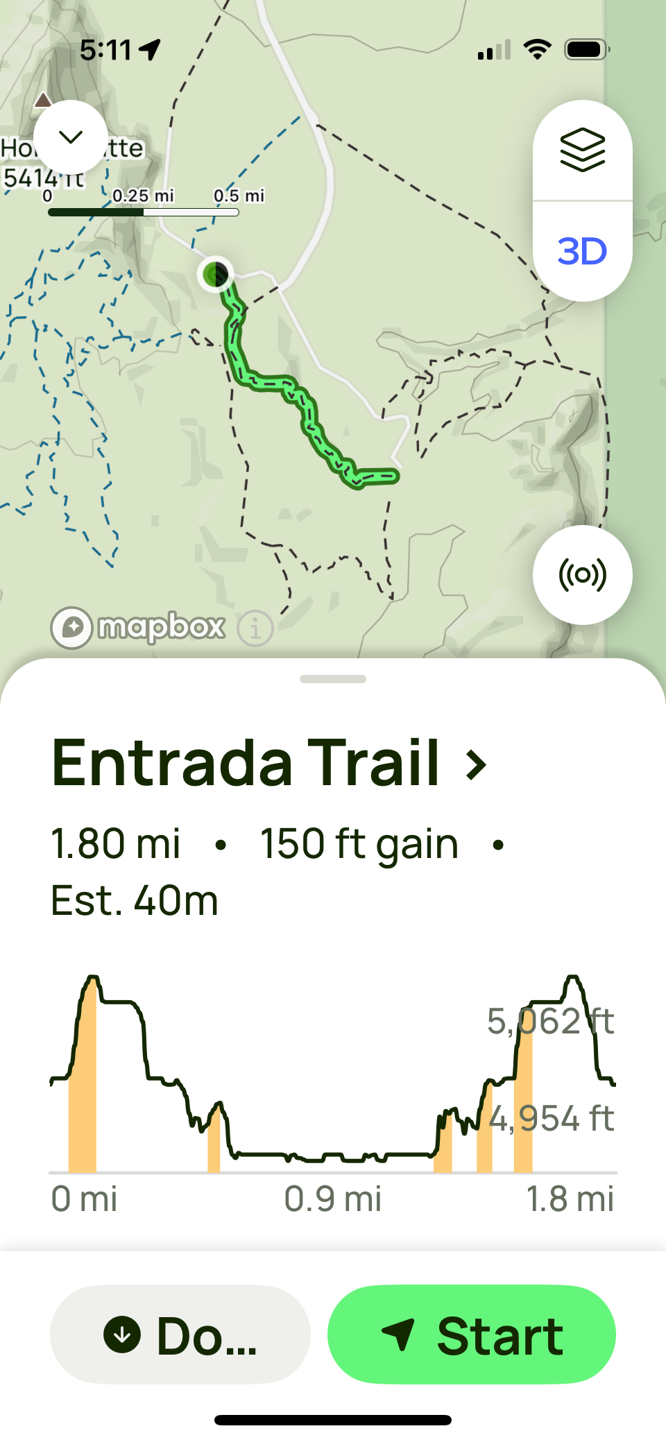
If you hike a lot, you’ve probably heard of AllTrails. In our opinion, it is by far the best hiking app out there. There is a free version of the app, but we have the paid version so we can download hikes and use the maps offline. We would recommend the paid version, because being able to navigate when you don’t have cell service (which is quite often while hiking in remote locations) can mean the difference between having an enjoyable experience and getting lost.
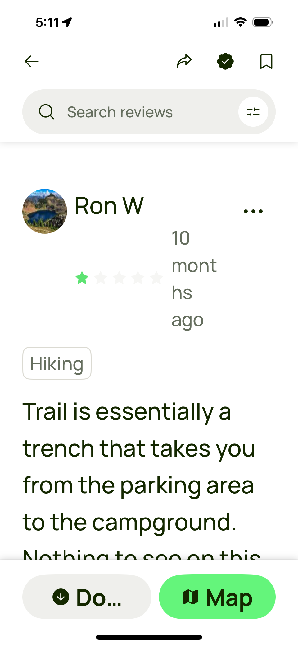
In addition to finding hiking trails along with all the details of distance and elevation gain, there are user reviews of the trails which can provide useful information about current conditions along the trail. Current conditions are helpful if you’re concerned about the trail not being cleared of snow yet, how muddy the trail might be, or how deep the water may currently be for a creek crossing.
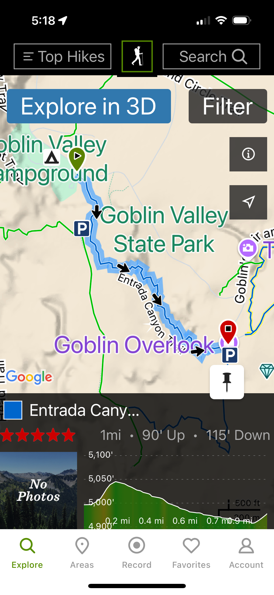
Occasionally, we may also look at a trail on the Hiking Project. Usually this is just a comparison of routes or verifying information in AllTrails. However, the Hiking Project doesn’t haven’t any where near the amount of trails and info as AllTrails.
5. National Parks
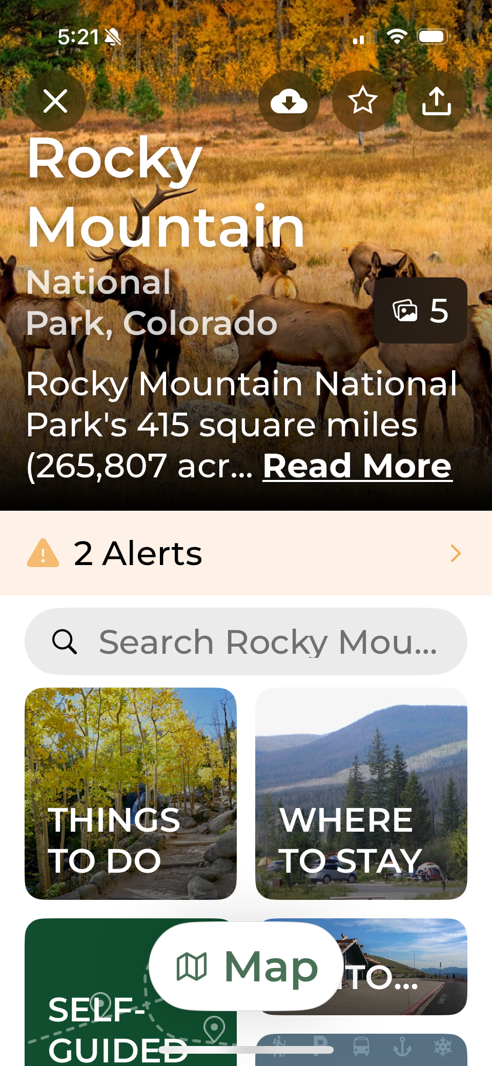
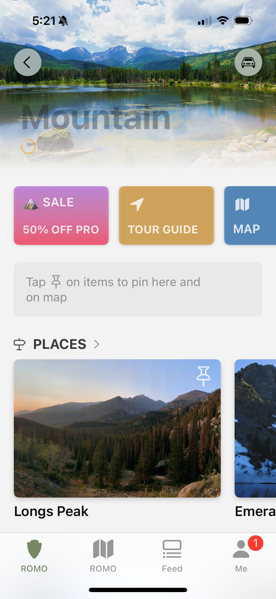
The NPS App is one app for all of the National Park Service units. We use it when we visit a national park, but have found the quality of the information varies greatly from one park to another. It is definitely worth investigating what it has to offer.
There is another app called Park Wolf, but we haven’t used it yet. Park Wolf is known for its audio tours and wildlife heat maps. However, in order to download all the information for offline use, you have to pay for the Pro version.
6. Weather
Keeping an eye on the weather helps us plan our days while we travel. Watching out for severe weather is always a good idea. Knowing the temperature forecast, we can decide whether to have the furnace or air conditioner on overnight. We’ll pick which days we are going to hike, cycle, and paddle board based on the forecast.
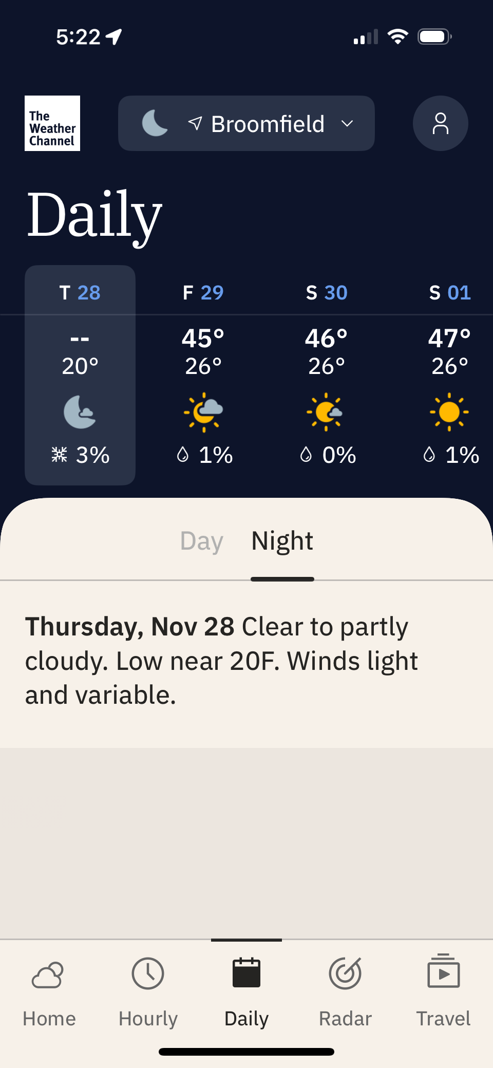
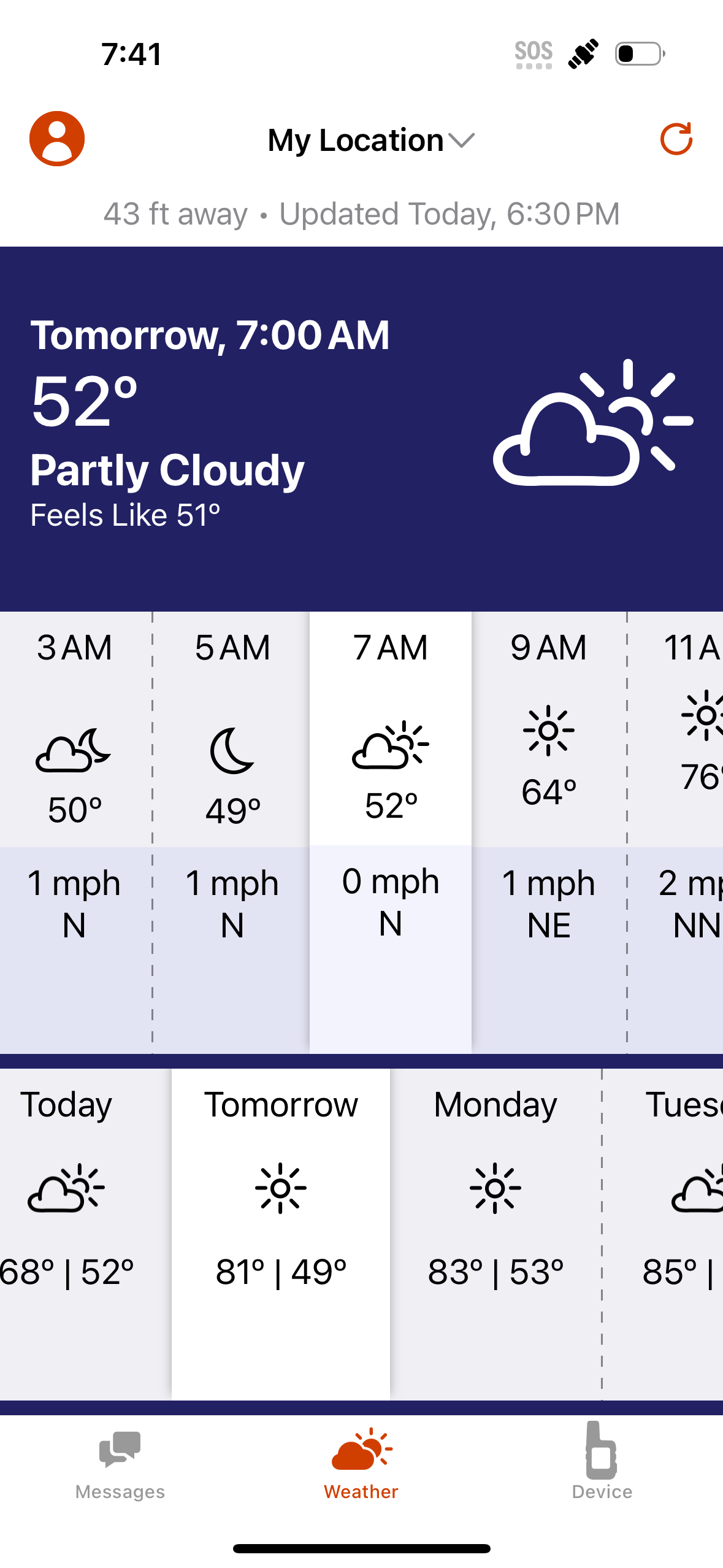
Weather forecasts are not that accurate, so we generally look at more than one forecast. Ann uses The Weather Channel app while Keith uses the Apple Weather app.
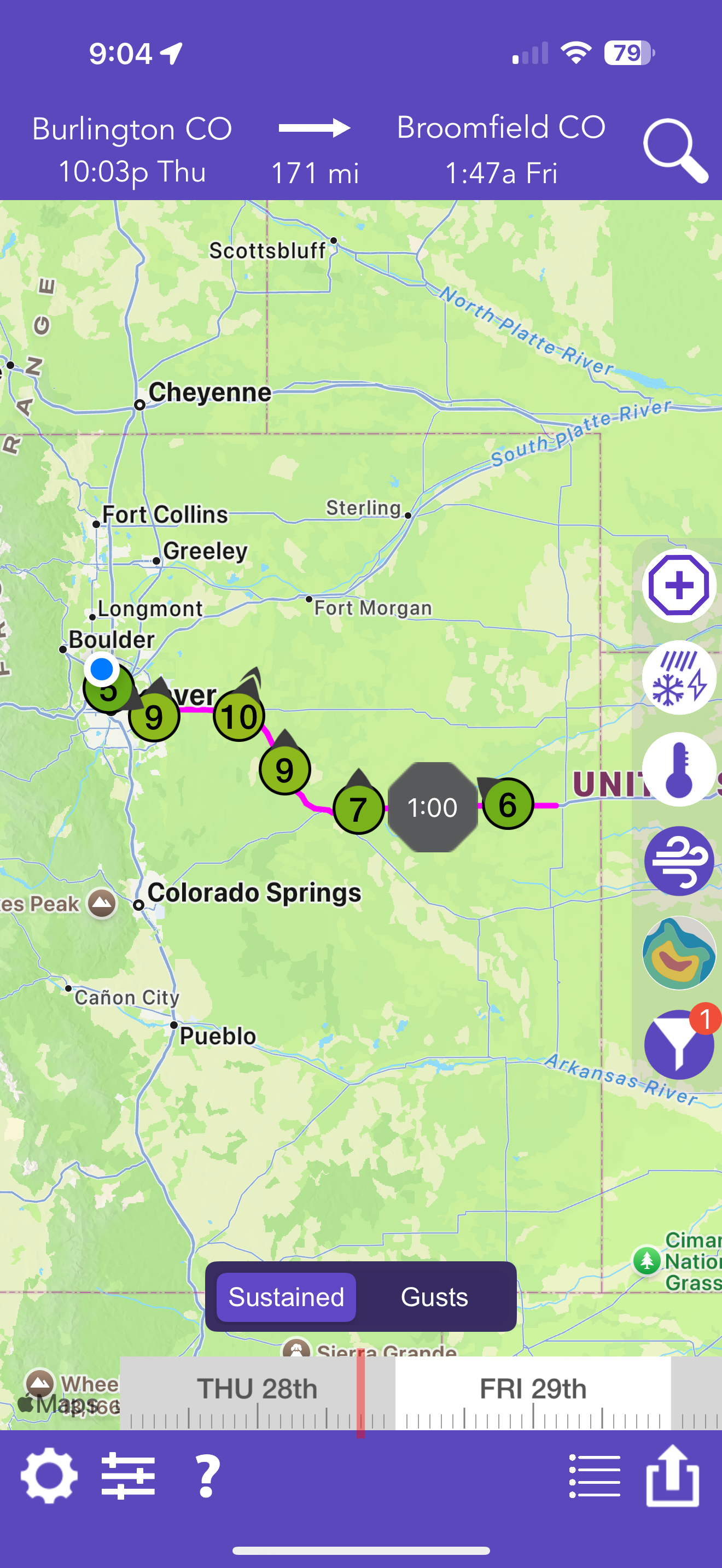
We’ve even tried out Drive Weather to find out the forecast along our route during long travel days. Drive Weather can tell you things like forecasted wind speeds or storms along your route. There is both a free and paid version. We haven’t used it enough to recommend which version. It is handy to know if your route is forecasted to have high winds or icy conditions so you can take a different route or decide to travel a different day.
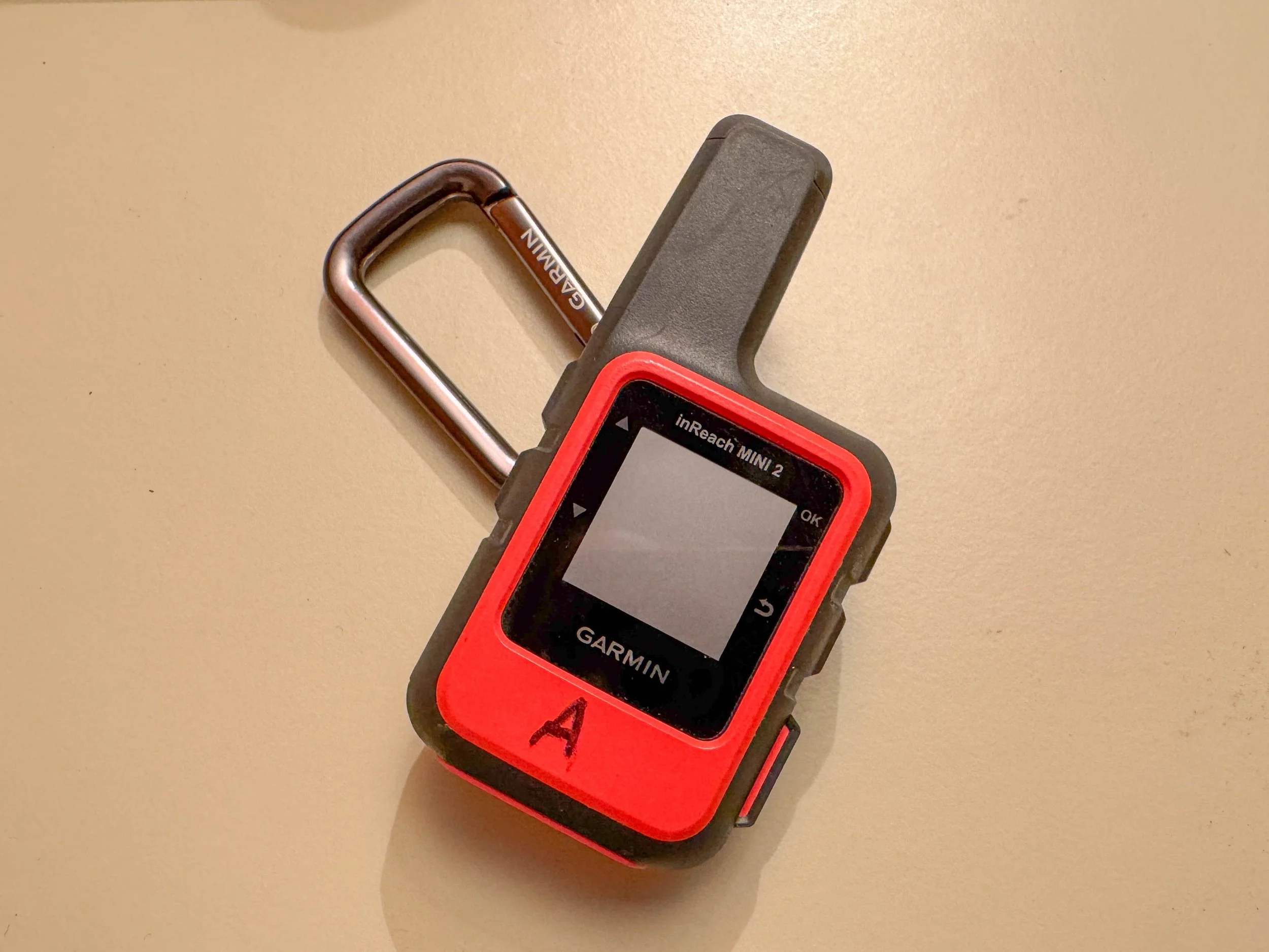
If we don’t have a cell signal or Starlink connection, we request a local weather forecast on our Garmin InReach devices (paid link), which seem to connect to satellites even when Starlink cannot.
7. Financial
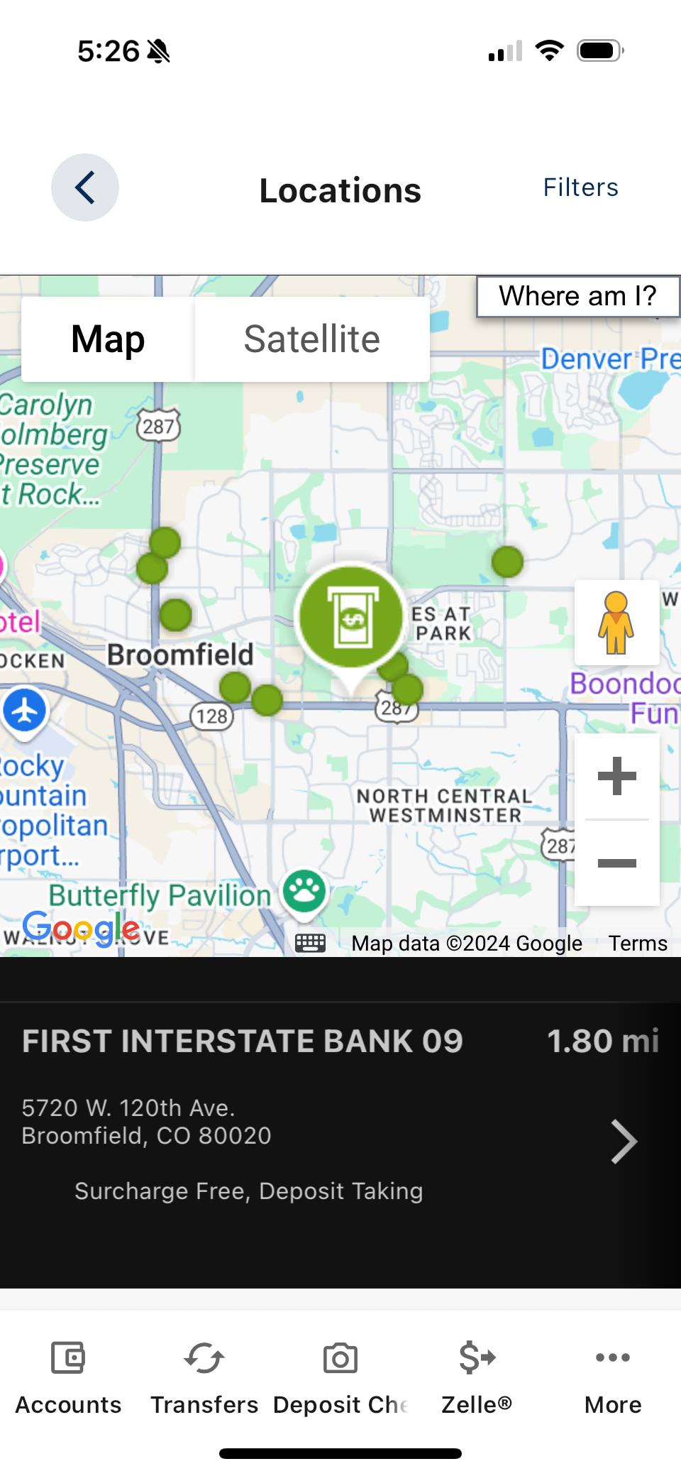
While we are on the road, we need to stop at ATM’s every now and then to get cash. Even though in this day and age we can usually use credit cards most places, there are still times when cash is needed or is convenient. We bank at a credit union and their phone app allows us to search the area for ATM’s that don’t have transaction fees. It’s always nice to save a little money. You might want to check if your bank offers a similar app.
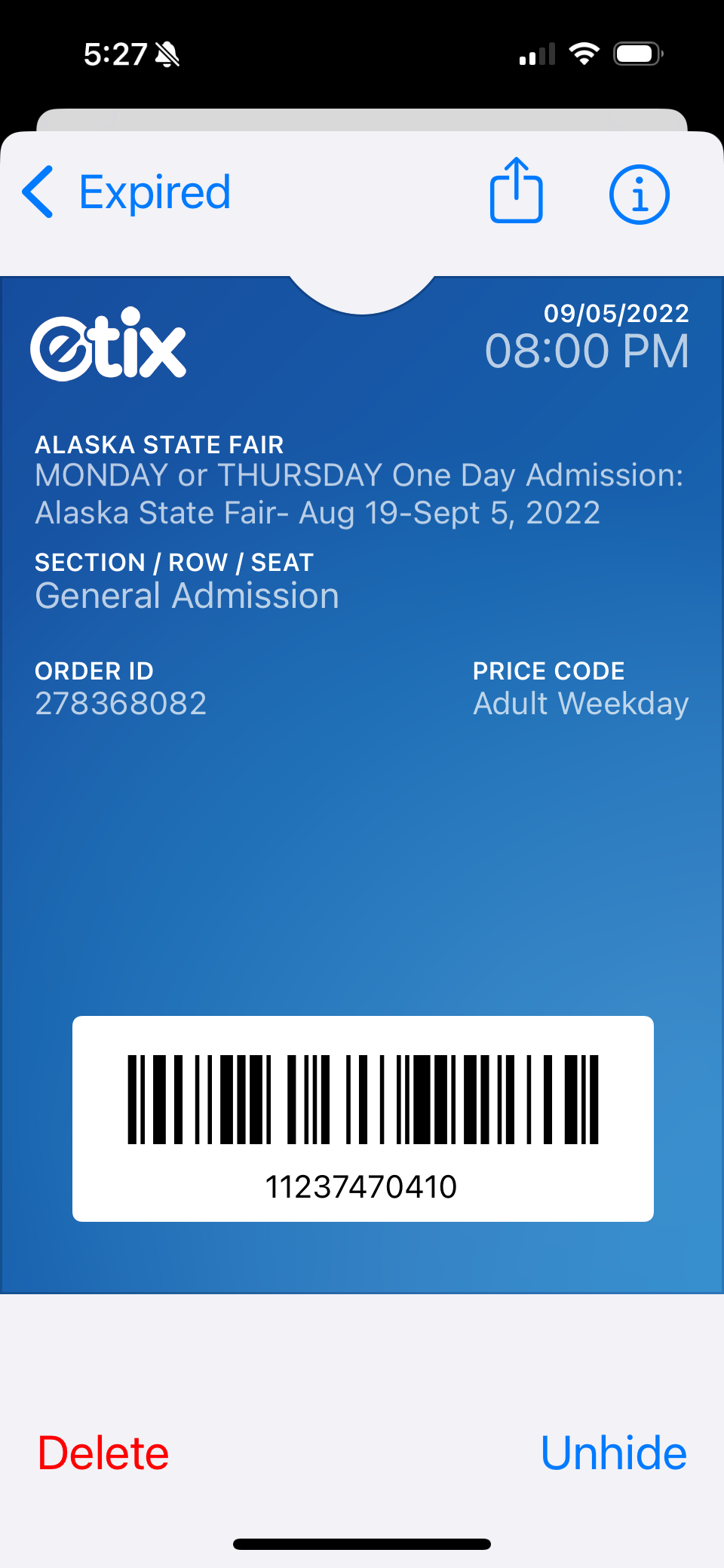
The Apple Wallet app also comes in handy for storing and displaying tickets for excursions that we book online ahead of time, such as boat tours or event admission tickets.
8. Connectivity
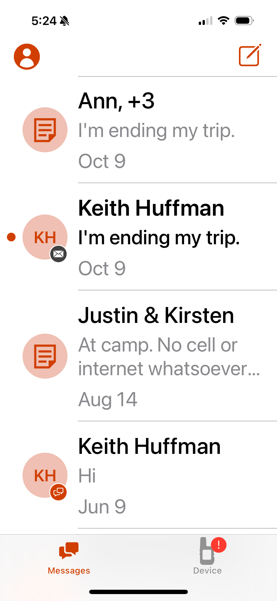
We use our Garmin InReach devices to not only check the weather, but also to send text messages via satellite. Whenever we leave or arrive at a campground, we send a message to our two adult children so they can keep tabs on us. In addition, we send messages when we start a hike or bike trip and again when we are done. The messages include our GPS location. Hopefully our children will notice when they stop receiving messages from us and will notify the authorities to search for us, giving them our last known GPS location. Since we travel for about half the year, we don’t want something to happen us and no one notices for months.
The Garmin InReach devices are not phone apps, but the user interface on the small devices is rather cumbersome and clumsy. However, we can control the devices via Bluetooth from an app on our phones called Garmin Messenger. The app makes the devices so much easier to use. The batteries last so much longer on the InReach devices than our phones, so in a real emergency, when we are stuck out on the trail for days, we can still use the devices after the batteries die on our phones.
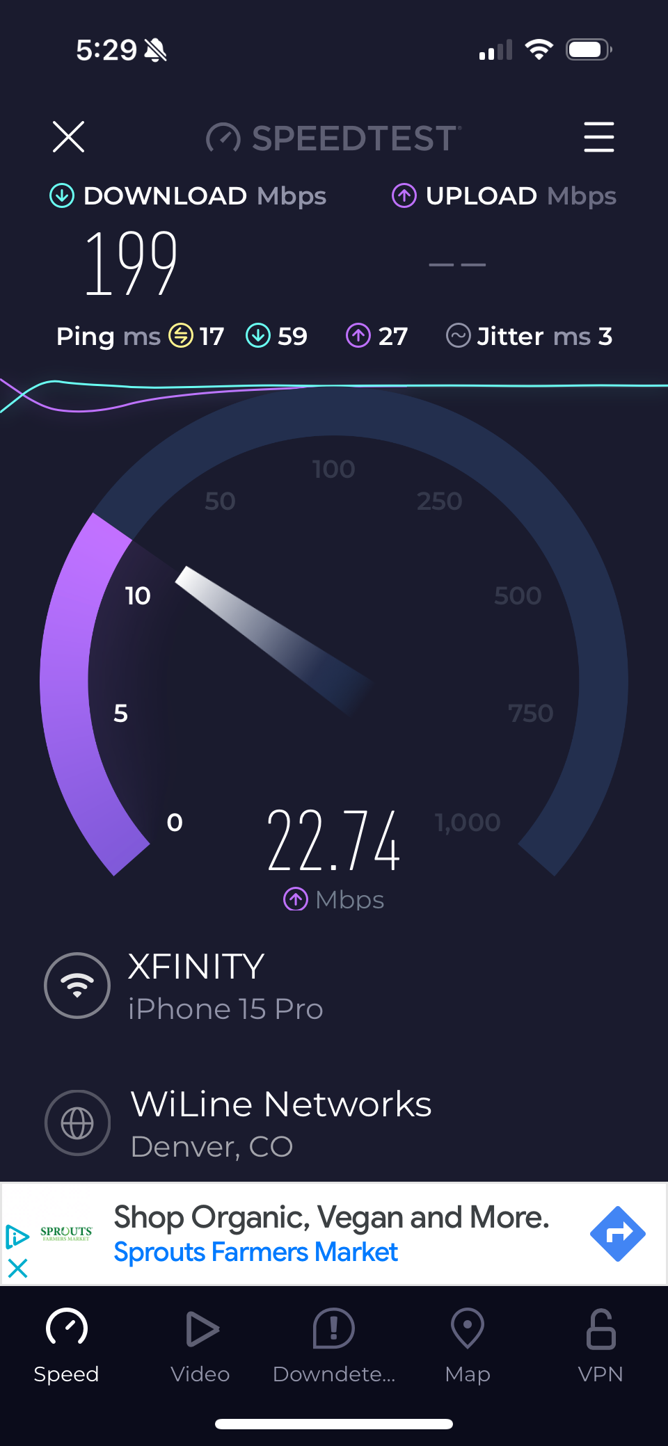
One of the first things we do when we arrive at a new camp site is check the internet connection speeds for our different options. Is it better to use AT&T through our phones or Verizon through our Jetpack hotspot device? Is it better with weBoost (paid link) on or off? Do we set up Starlink or does it cut out too much due to tree cover? Cell signal strength or how many bars of signal is not a good indicator for internet speeds as it doesn’t take into account how heavy the cell or satellite traffic is. The Speedtest app actually measures the speed of sending and receiving data to and from the internet. A handy little tool to have. Speedtest is also available through a browser from their website so we can test the connection from our laptops.
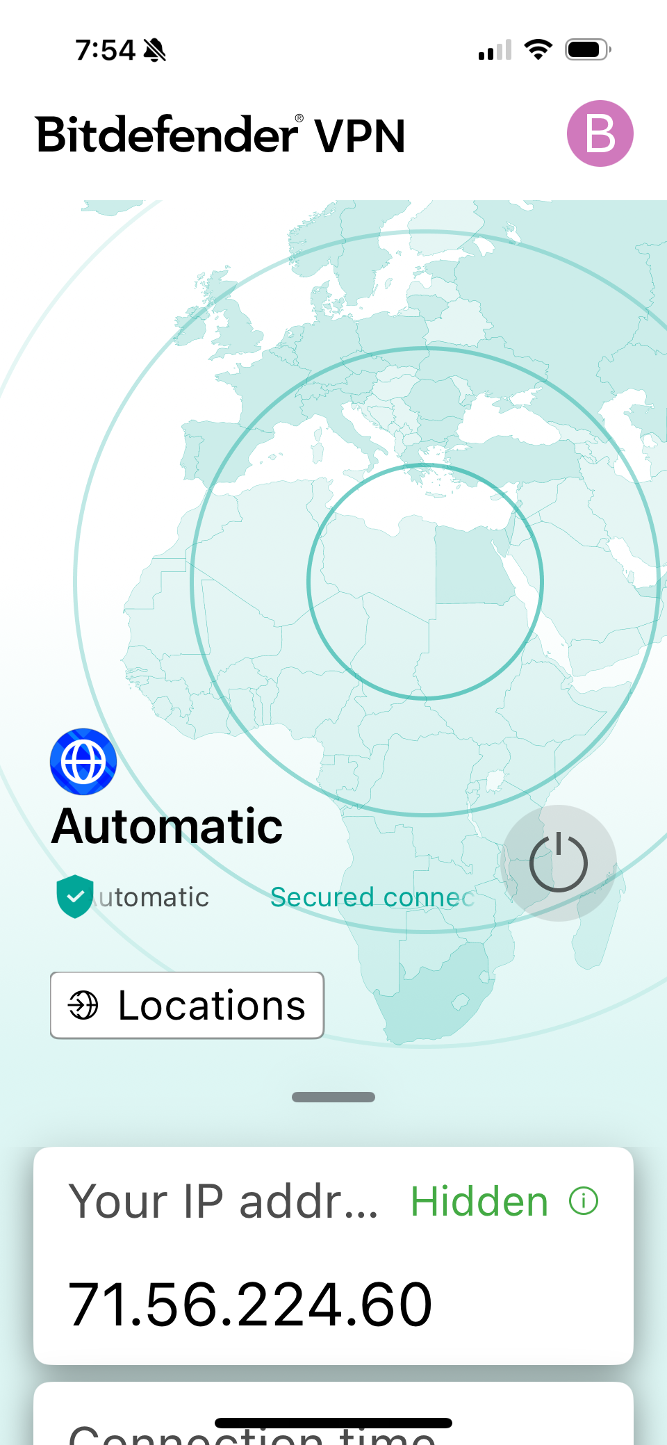
We normally don’t use public wifi, but we have on occasion. When we do, we make sure we use a VPN to protect our data. There are a lot of VPN’s out there. The one we use is Bitdefender. There are two phone apps with Bitdefender. The Bitdefender VPN app controls whether the VPN is on or off. The Bitdefender Mobile Security app allows you to scan your device for security issues. In addition to the phone apps, our Bitdefender account also includes a computer application to protect our laptops the same way.
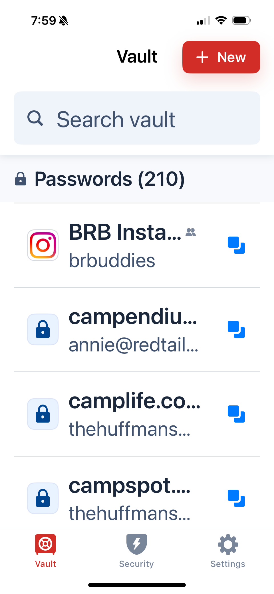
Also along the same lines as online security is the issue of passwords. There are so many passwords we need to know these days. The best way to remember them is to store them securely in an app. We use LastPass, which is a phone app and a browser extension. It is also a great way to generate a very secure password. Now we just have to remember one password to have access to all of the rest.
9. Miscellaneous
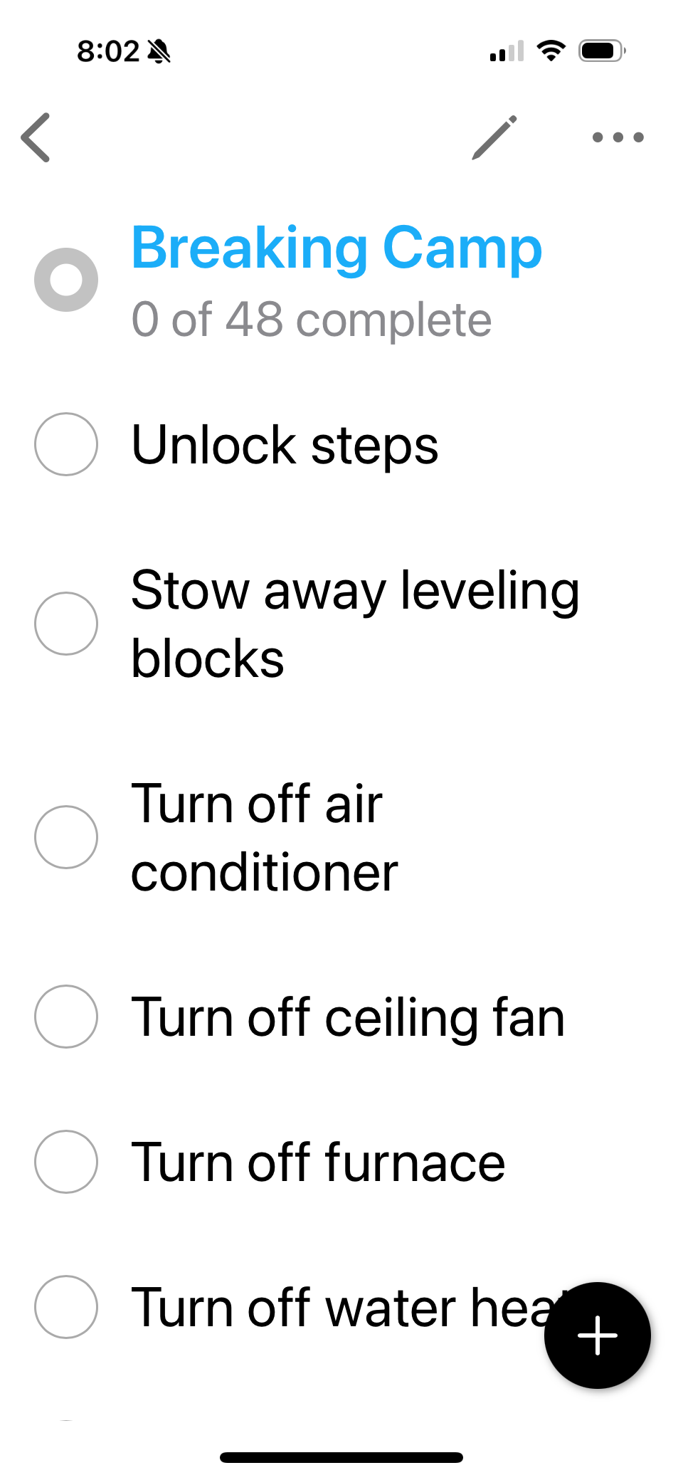
There are a few apps that just make our lives easier on the road and at home. The first one is Check Check - Checklists. It is a basic app that lets you create checklists that are resettable. Make sure you get the right app, because there are several called Check Check. Get the one that is by Cool Wind, Inc. The others have nothing to do with checklists. The checklists we keep in the app are for Breaking Camp, Setting Up Camp, Hiking, Backpacking, Prepare RV for Storage, Prepare For Season, Blowout Procedure, and Antifreeze Fill Procedure. You can check items off as you go, hiking the completed items, or just skim down the list making sure you didn’t forget anything. Then you just reset the list so you can use it again. It is easy to modify the checklists as you find items you want to add or remove from the list. It is great when you haven’t done an activity for a while and you don’t want to forget anything, such as Backpacking or Prepare RV for Storage. Or activities that have significant consequences if you forget something, like Breaking Camp. The checklist we use the most is the Breaking Camp checklist. Even after months of traveling, there are still times we forget items and the checklist helps remind us to do them. And the last thing you want to do is forget something that can cause damage to your rig, like accidentally leaving a window open. We rarely use the Setting Up Camp list, as we have a tendency to just get things out when we need them. However, there were numerous times that we got ready to do dishes after dinner, only to realize we forgot to turn on the water heater.
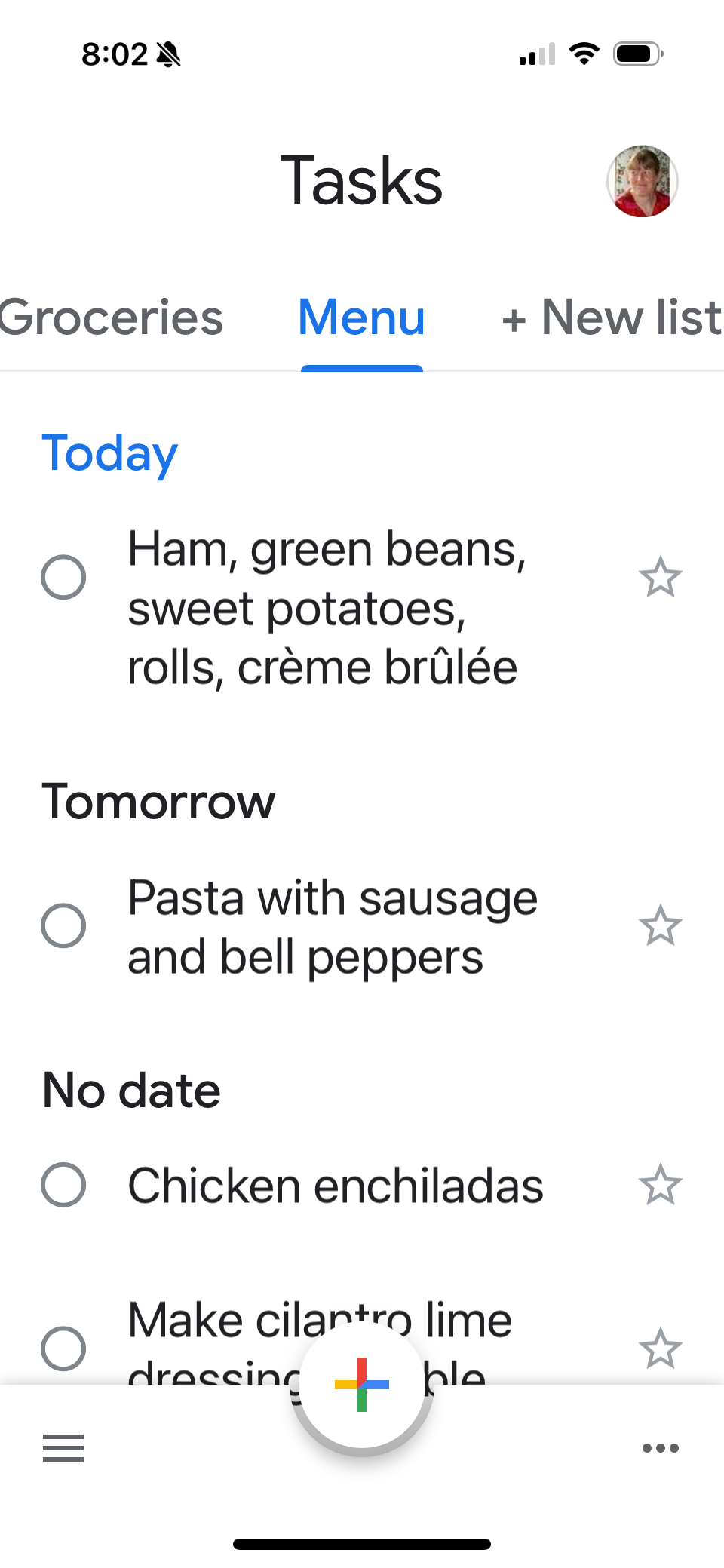
Another app Ann finds useful is the Google Tasks app. She uses it to create our menus and grocery lists. Sometimes she’ll assign each meal to a particular date, especially if there is a reason to. It might be saving leftovers for a travel day, grilling outside on a good weather day, or having a warm Instant Pot meal inside on a predicted cold, rainy day. It is similar to Check Check in that it has check lists, but, unlike Check Check, the lists are not resettable. Ann also keeps a constant My Tasks list in Tasks. As she thinks of items, she adds it to the My Tasks list. To bring priority items up to the top, she assigns a date to them. The assigned items even show up on her Google Calendar.
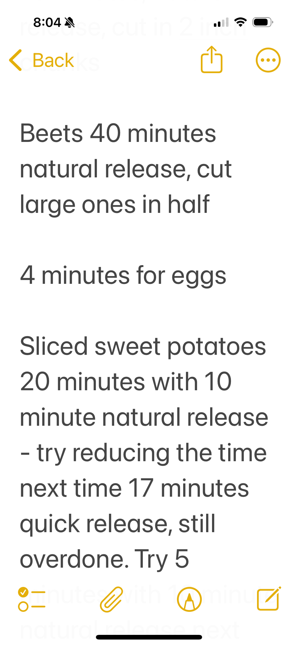
Another app that Ann uses is Apple Notes. Notes is great for jotting down info when she isn’t near her laptop. She keeps things like travel notes and Instant Pot notes, such as how long to pressure cook eggs for that perfect soft-cooked egg.
We’re probably missing some from our list and you might have others that you cannot live without. Hopefully our list of apps will get you thinking and prompt you to investigate apps that will help make your travels a little easier.
Check out our related video: Our Phone Apps
(Ann)


