Prairie Creek Redwoods State Park, California - August 18th to 19th, 2024
Prairie Creek Redwoods State Park is one of three state parks that are part of the Redwood National and State Parks. We had already camped in the other two, Jedediah Smith Redwoods State Park and Del Norte Coast Redwoods State Park. So Prairie Creek Redwoods completed the set.
Sunday was a short travel day from Mill Creek Campground in Del Norte Coast Redwoods State Park to Gold Bluffs Beach Campground in Prairie Creek Redwoods State Park. So we did a couple of hikes along the way.
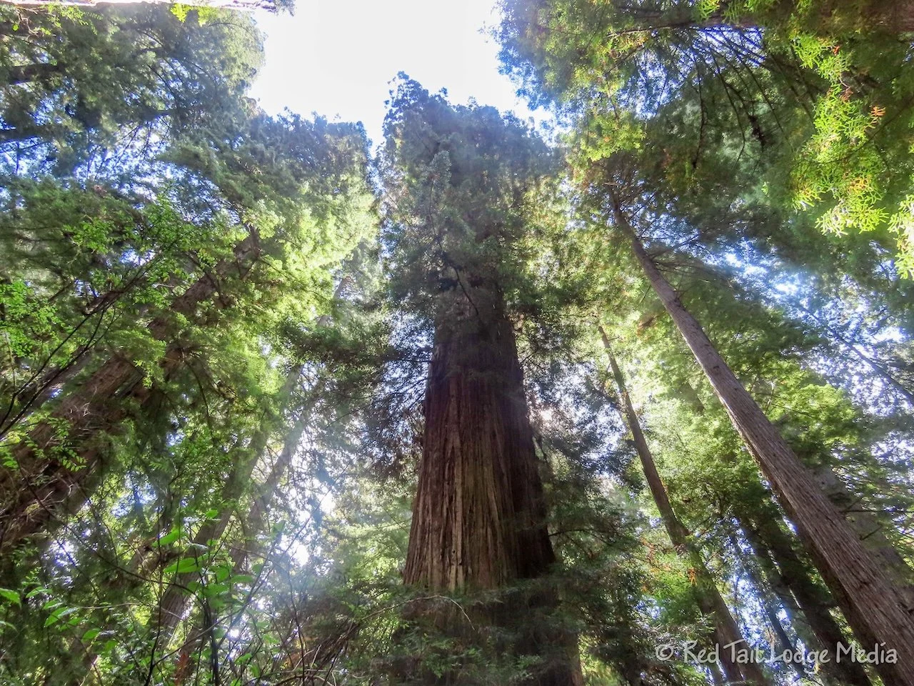
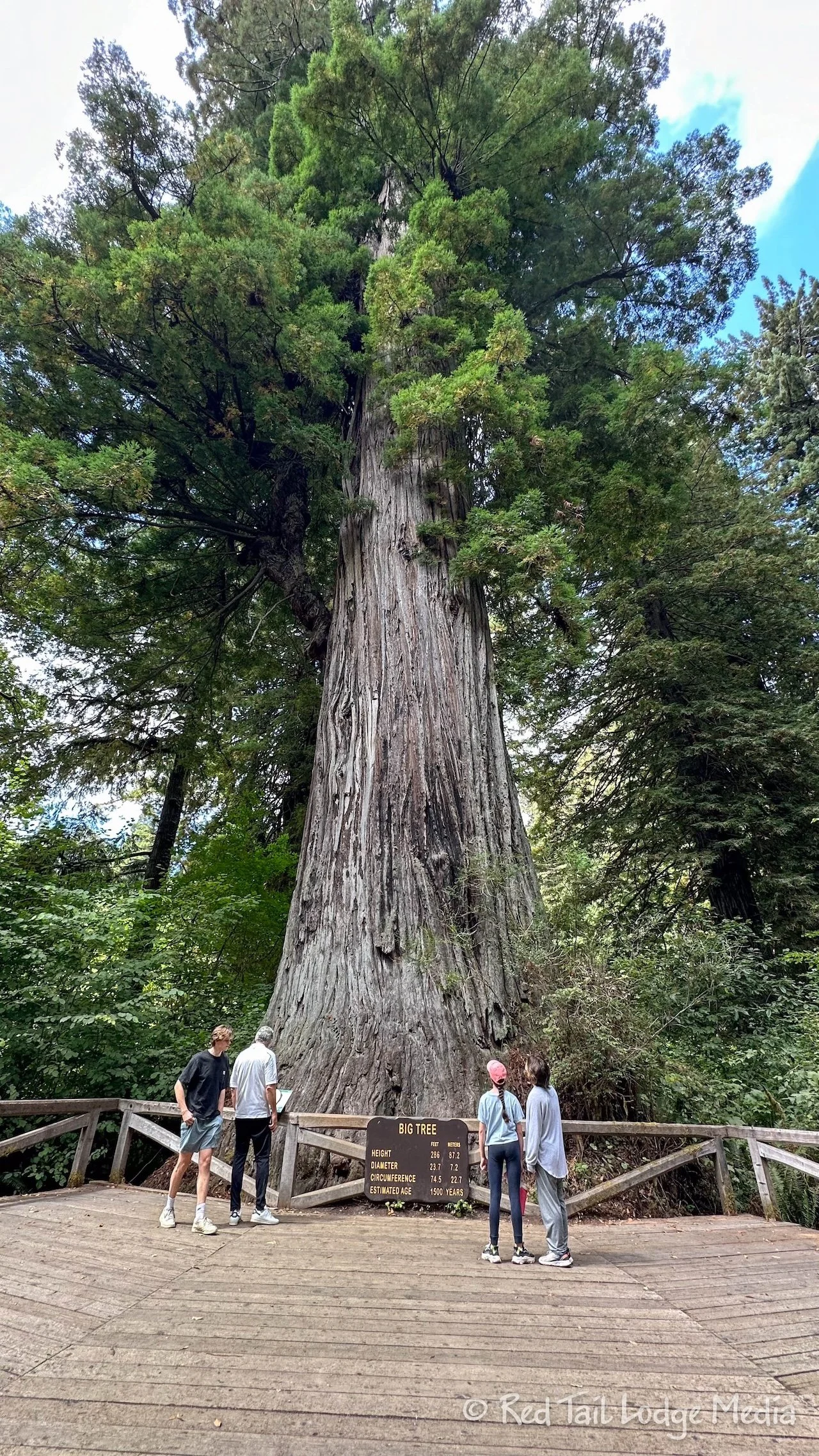
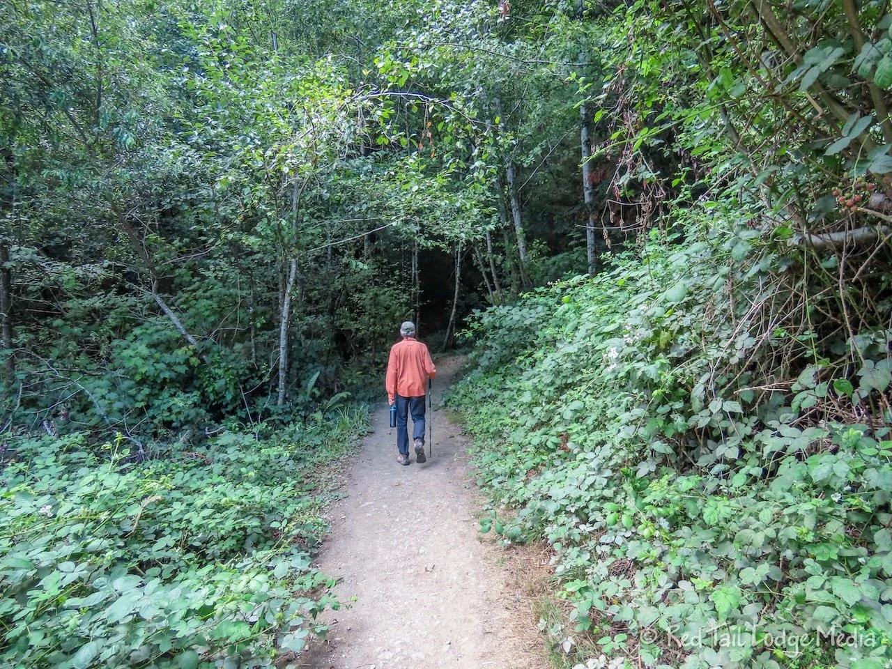
The first hike was a short loop to see the Big Tree. We parked alongside Newton B. Drury Scenic Parkway, just north of the Big Tree Wayside. The Karl Knapp (formerly the Prairie Creek Trail) comes out to the road there. We walked the popular loop of the Karl Knapp south to the Prairie Creek Visitor Center on the west side of the road, then came back the Foothills Trail on the east side of the road, which passes by the Big Tree. A route in AllTrails comes back the Cathedral Trees Trail instead of the Foothills Trail. The Cathedral Trees Trail swings out more to the east and is slightly longer, but it may be more scenic as it is a little further from the road.
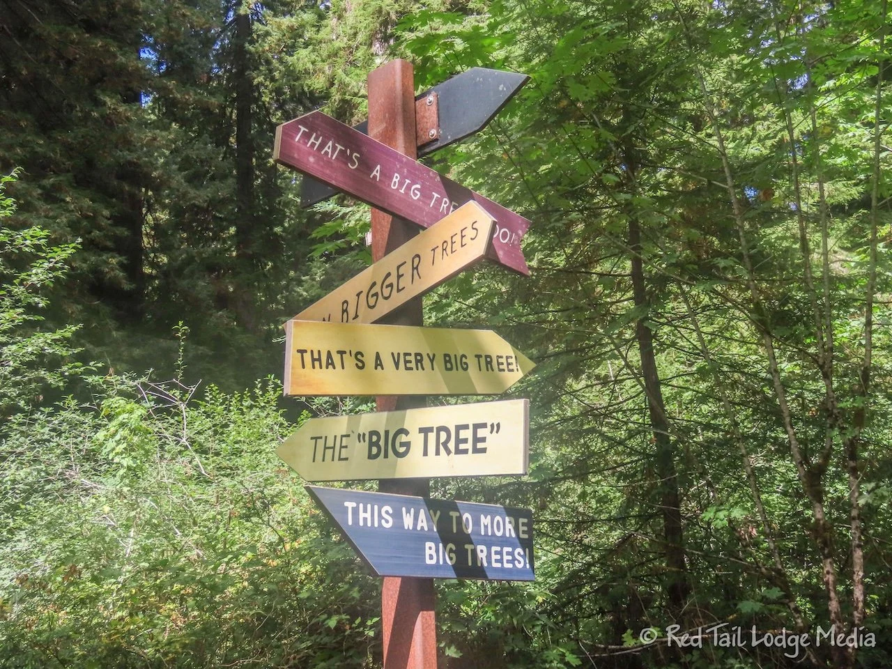
We’re not sure why the Big Tree is such a main attraction. It is not the biggest tree in the area. However, it does have a sign with its stats along with a wooden deck in front of it, so it makes for a great photo op.
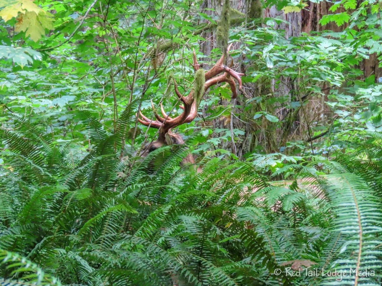
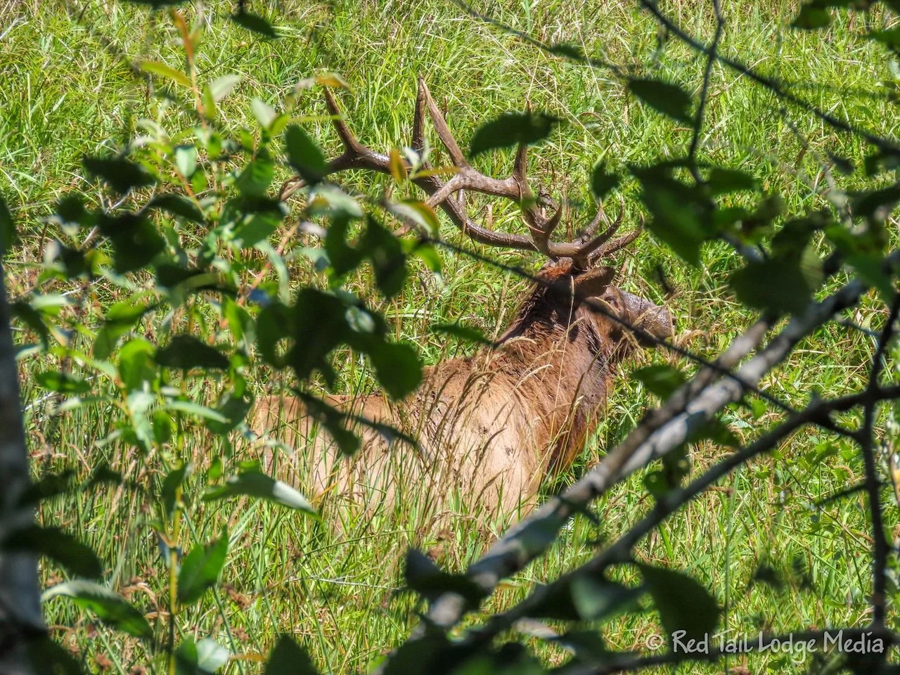
At the Big Tree, there is the short Cathedral Circle Trail, so we took it. Well, we took part of it. As we circled around, we came across a large bull elk. We debated about turning around and heading back the way we came, but then we saw a social trail leading away from the elk that looked like it could get us around him. However, it dead-ended at a tree. Now we were stuck. If we went back out the spur, we would be heading straight towards the elk and he was looking right at us. We decided to blaze our own trail through the underbrush to get around the elk and back to the trail.
By the time we returned to Red Tail, we had gone 2.9 miles with an elevation gain of 128 feet in an hour and twenty minutes. It was a lovely little hike among the big trees and along Prairie Creek.
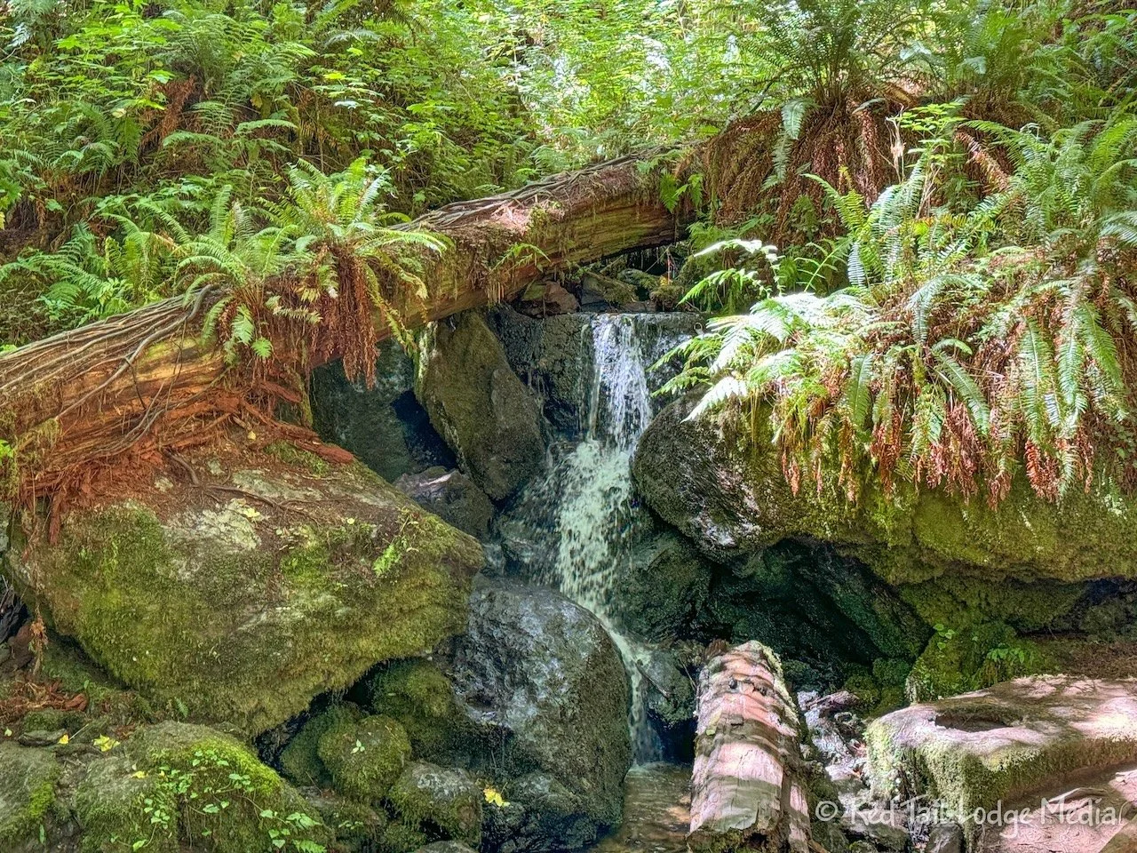
The second hike for the day was Trillium Falls Trail. It starts at the Elk Meadow day use area, at the start of Davison Road. This trail is not in Prairie Creek Redwoods State Park, but rather the Redwood National Park. The falls were pretty, but nothing really impressive. Again, the highlights of the trail were not the main attraction, but the groves of redwoods. Several dozen of the groves had signs, naming the groves after people’s names or in someone’s memory. We’re guessing that people were donating money to the park in order to have a grove named for them.
At the end of the hike, the trail follows alongside Elk Meadow. A line of trees separates the trail from the meadow, providing a natural wildlife blind. A herd of cow elk were at the edge of the meadow, entering into the woods. At the end of our hike, Ann walked up to the deck by the platform. She heard a bull elk bugle and caught a glimpse of a large bull elk, so naturally, she went back down to the path alongside the meadow to try to get a picture. She walked all the way to the road where she could get a clear view across the meadow. Two bull elk were standing in the meadow, looking back at her, but they were younger than the one she caught a glimpse of. Then she walked back down the path to get back to the parking lot. Along the way, she was able to see a few more bull elk through the trees, including the really big one with a large rack.
The Trillium Falls Trail was 2.8 miles with an elevation gain of 433 feet which we completed in an hour and twenty minutes. We combined it with our first hike and counted the combination as hike number 48 of our 52 Hike Challenge for 2024.
While Ann was off shooting the bulls, Keith was back at Red Tail trying to figure out our batteries. He had noticed in the morning that battery 1 had a much lower charge than battery 2. Normally they stay pretty close to one another. Earlier in the day, he turned off battery 2 so that battery 1 could get back up closer to battery 2’s charge. When he turned battery 2 back on, it looked like battery 1 was still draining faster. Keith turned everything off, the inverter and the DC circuit. There was still a current flowing from battery 2 to battery 1, despite the fact that they were the same voltage. There must be a loose connection or a short somewhere, but all the connections inside the battery compartment looked good and everything looked dry. We thought that perhaps all the rain the day before might have leaked in somewhere. Keith posted to the Winnebago Facebook group asking for help or ideas.
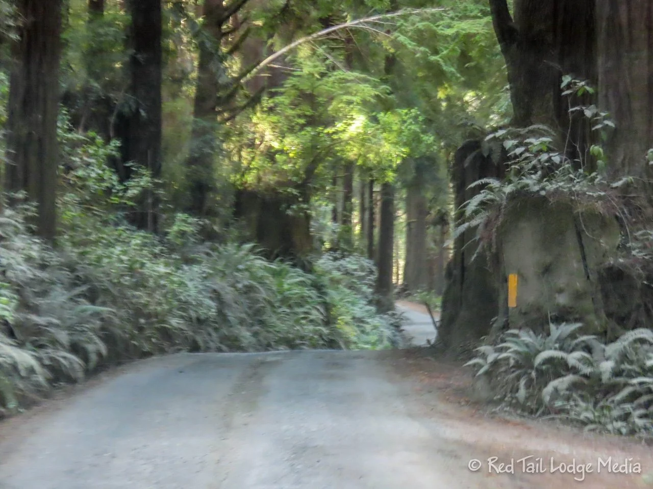
Then we drove the rest of the way down Davison Road to Gold Bluffs Beach Campground, six miles away. Just past the day use area, Davison Road turns to dirt. Vehicles wider than 8 feet or longer than 24 feet are not allowed, neither are trailers. We had heard that the road is pretty rough, but we didn’t find it too bad. Of course, ever since Olympic National Park, we now compare dirt roads to the Donkey Creek Road that we gave up on, so the bar is pretty low (Olympic National Park: South, Washington - July 22nd to 24th, 2024).
The road is steep and narrow. There are short sections with some nasty potholes, but they are few and far between. There are enough spots for two vehicles to get past each other. We only had to back up once. Keith did fold in his side mirror as we were about to pass someone coming the opposite direction. As long as you take it really slow and watch out for oncoming traffic, it is not that bad. It took us about 20 minutes to drive the six miles of dirt road to the campground.
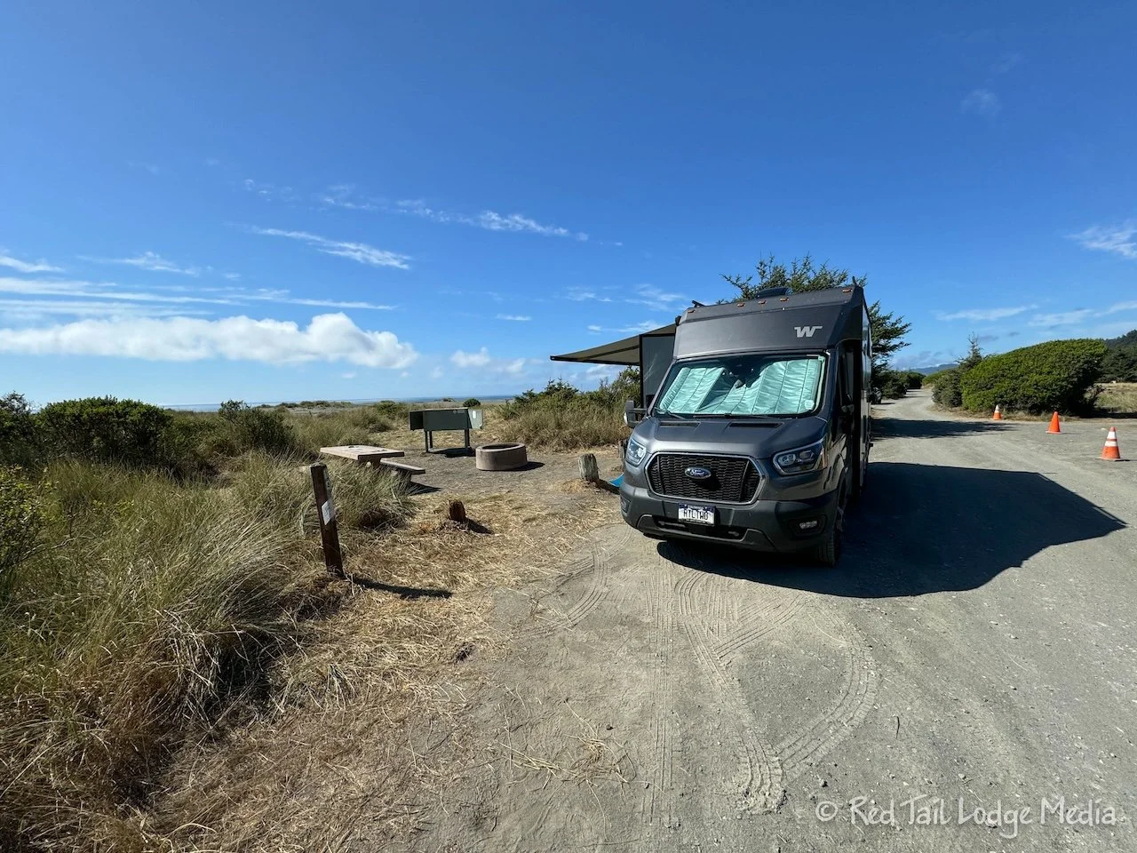
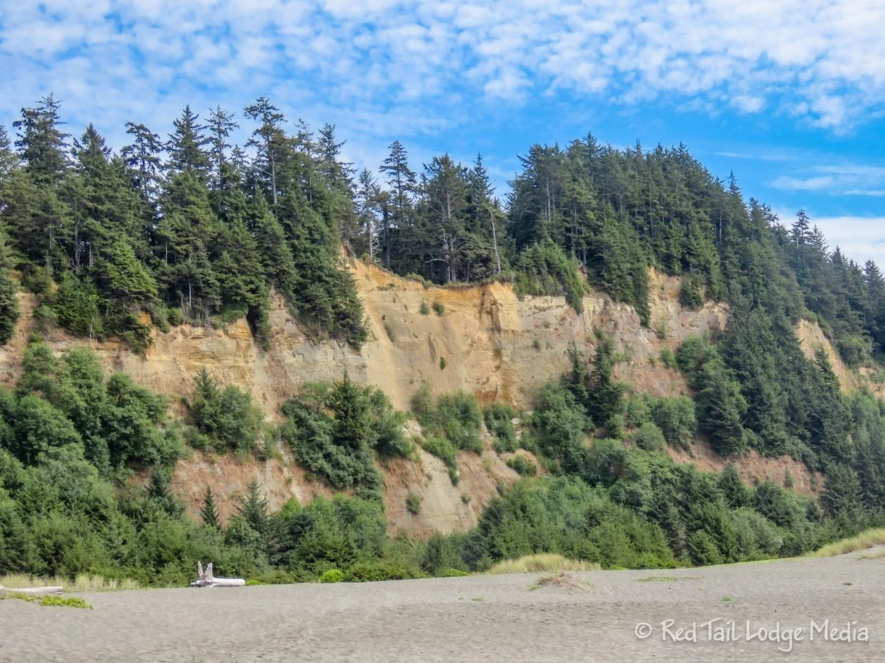
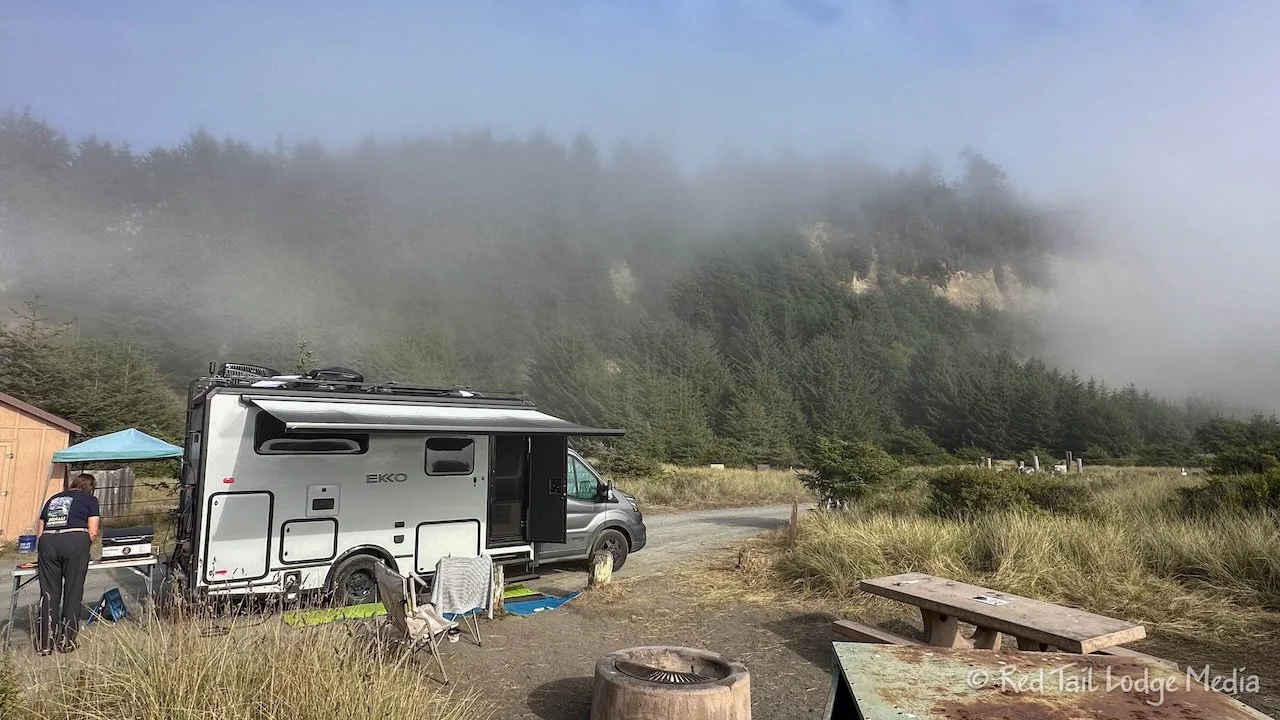
Gold Bluffs Beach Campground is just as the name describes. It sits below a golden bluff, on the edge of the dunes near the beach. It is exposed in the sun. We’re not quite sure all of the dynamics, but the air temperature was about ten to 15 degrees warmer compared to up at Trillium Falls. The sun and warmth felt good. The winds were surprisingly calm. We could faintly hear the sound of the surf from our camp site. The beach was a very short walk away. Since the campground is small, only 26 sites, it felt like we had a private beach to ourselves. A bank of clouds hovered above the horizon, giving us a wonderful sunset.
Monday morning, Keith tried to debug our battery situation some more. He took measurements while turning different systems on and off, but nothing looked unusual. Someone in the Facebook group thought it sounded like state of charge drift and we should try plugging into shore power. Unfortunately, we don’t have a campground reservation with hookups for another week.
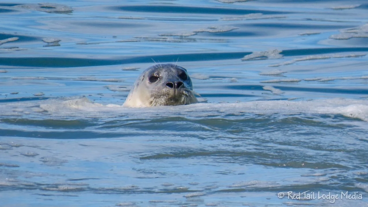
Ann walked over to the beach before lunch. She saw a couple of sea lions (or seals, we really don’t know how to tell them apart). They were pretty close to shore. They would pop their heads out of the surf and look at her. It almost seemed like they were following her as she walked along the beach.
After lunch, we hiked Fern Canyon. You need a permit to park at the Fern Canyon trailhead, unless you are camping in the Gold Bluffs Beach Campground. However, we didn’t want to break camp so we walked to the trailhead from the campground. The trailhead is only a little over a mile from the campground and the Fern Canyon Loop Trail is only a mile long, which would make our total hike somewhere between three and four miles.
There is another option for visiting Fern Canyon. If you don’t want to drive down Davison Road, you can hike from the Prairie Creek Visitor Center. However, it is a long and steep hike. The James Irvine Trail is 10.3 miles long with an elevation gain of 1400 feet.
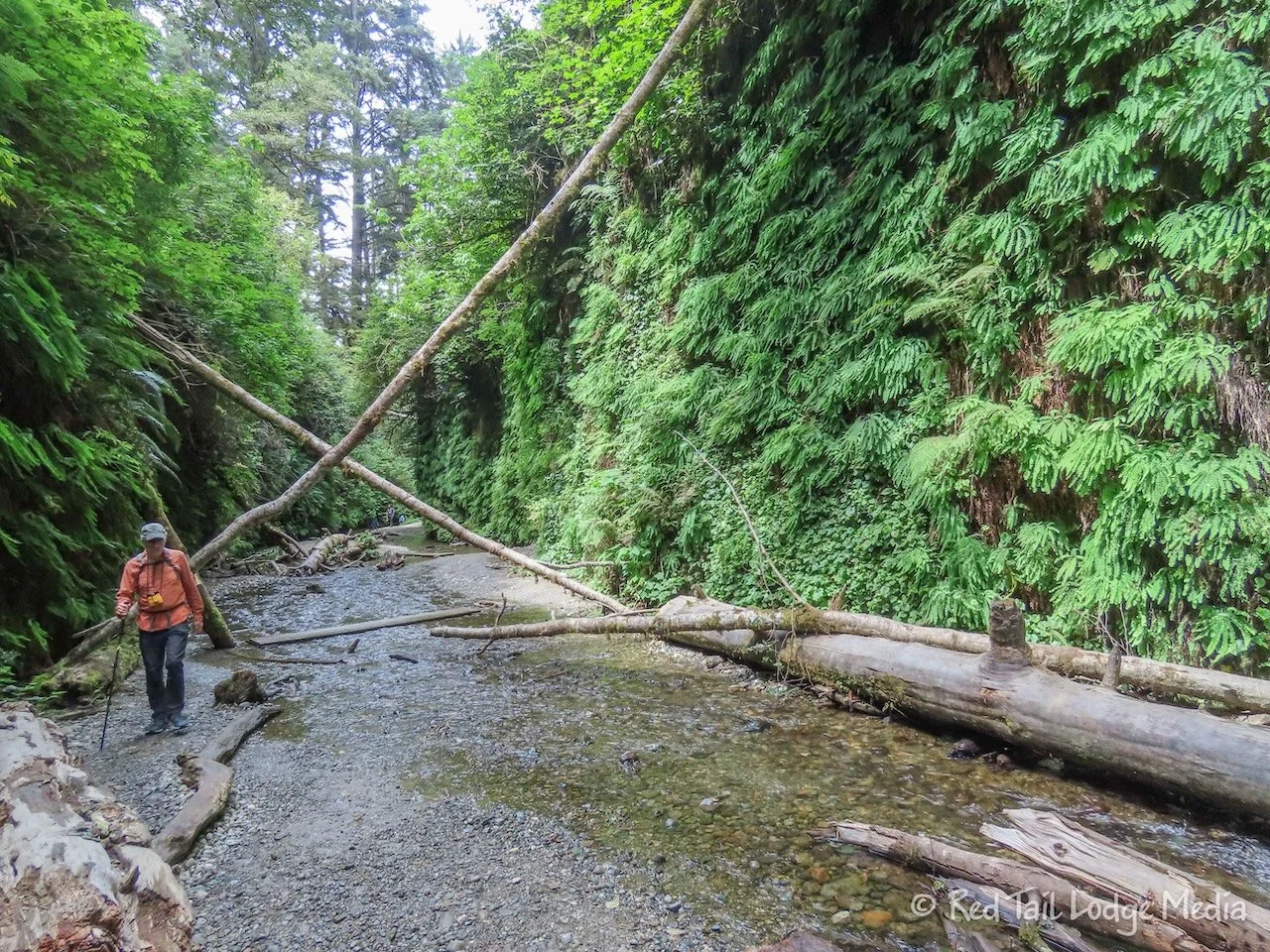
Fern Canyon is a pretty neat experience. You are walking along the stream bed of a narrow canyon which is lined with several different types of ferns. Water seeps down the canyon walls in a few places. There are wooden planks across the water, which you are constantly crossing. We managed to keep our feet dry, but that may not always be the case. Wearing water shoes or rain boots might be a better option. It also allows kids to splash around in the water.
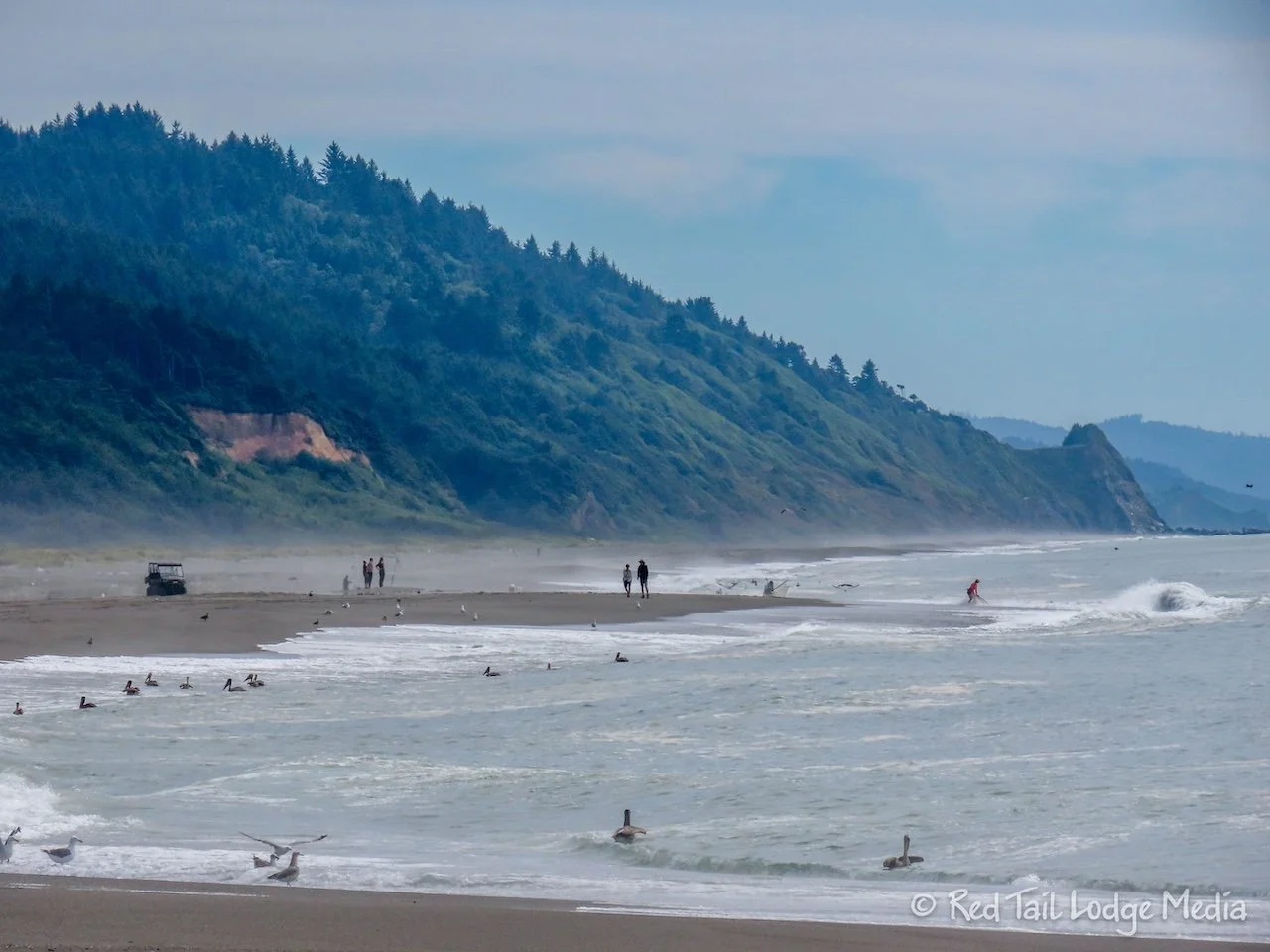
What we enjoyed almost more than the canyon was the walk along the beach. On the way to the trailhead, we spotted some sea lions near the shore and a couple of dolphins pretty far from the shore. On the way back, there were about three sea lions or more popping their heads out of the surf. There must have been quite a few fish in the area at the time, as there were also plenty of birds in the water along the shoreline taking part in the meal.
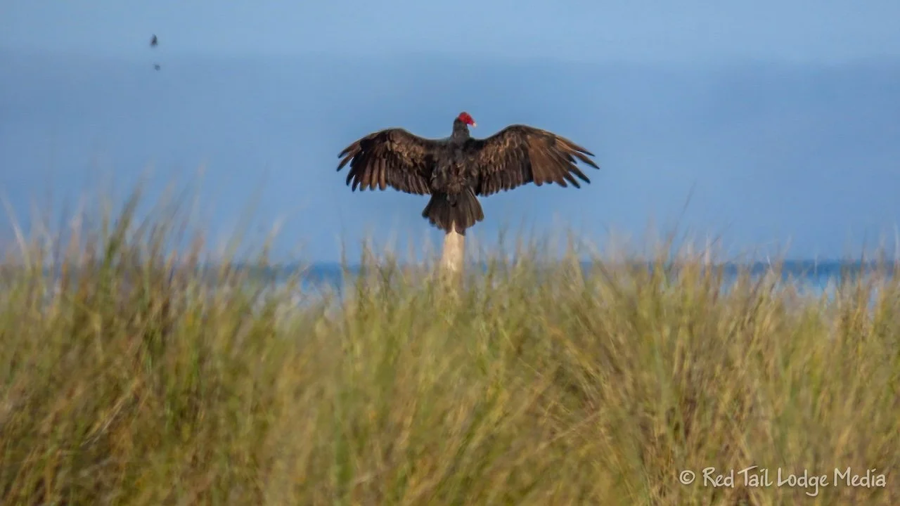
Near the campground, there was a dead sea lion lying on the beach. It was there when we arrived the day before. We were surprised that no animals were feeding on it. On our way back, there were a few turkey vultures having a sea lion meal.
By the time we returned to Red Tail, we had gone 4.5 miles with an elevation gain of 184 feet which took us two hours and 40 minutes to complete, including all the times we stopped to watch the sea lions in the surf. It was hike number 49 of our 52 Hike Challenge for 2024.
While we cooked dinner, a fog rolled in. But then the fog cleared in time for a spectacular sunset. It was even better than the sunset the night before.
There is something really special about camping near the coast. Being able to walk over to the beach for beautiful sunsets seems almost magical. Was Gold Bluffs Beach Campground worth the slow drive down Davidson Road to get there? We thought so.
Check out our related video: Prairie Creek Redwoods State Park, California
(Ann)

