Lake Tahoe, California - June 2nd to 6th, 2024
We had no expectations for Lake Tahoe, nor a plan of what we would do there. We managed to play it by ear and had a wonderful visit.
Sunday was a long drive from Stony Creek Campground in the Sequoia National Forest, to Nevada Beach Campground on Lake Tahoe, just across the border in Nevada. It was over six hours of driving, but the scenery was beautiful. We covered quite a variety of terrain.
After leaving the mountains of Sequoia and Kings Canyon, we were back on the valley floor with the orchards, farms, and pastures. We stopped again at the Sunflower Farm Stand. This time we picked up a variety of oranges, peaches, and nectarines. Ann also bought a red onion and lemons to make a lemon cream pasta.
From Fresno, we headed north on state highway 99, which is a limited access highway like an interstate. However, we didn’t stay on it long. At Merced, we headed north on some two lane roads. Google Maps told us that the fastest route was up through Sacramento, but we preferred to add 40 minutes to our drive to avoid the stressful traffic and take a more scenic route. Google Maps did offer an alternative route, but it also liked to route around the center of towns when possible. It kept Ann on her toes to ignore Google Maps so we could drive through the cute little towns. Our paper atlas also helped point out which roads were the scenic routes. If we would have listened to Google, we would have missed the cute town of Sonora.
The orchards gave way to rolling hills of yellow grasses. Then green trees started dotting the hillsides. As we ascended back into the mountains, the forests sprang up around us. We passed by picturesque mountain lakes surrounded by pointy mountain peaks. As we approached Lake Tahoe, moraine meadows opened up with lazy streams meandering through them.
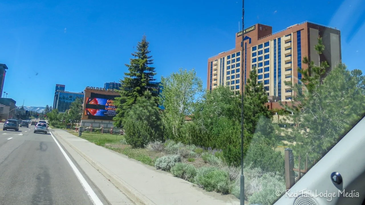
Then we hit the town of South Lake Tahoe. It was quite a shock. There were massive amounts of people, traffic jams on the highway, and huge mega-resorts and casinos. We’re not quite sure what we were expecting, but this was not it. The Nevada Beach Campground is on the east side of town, right on the lake, just across the border into Nevada. At our turn off from highway 50, it was bumper-to-bumper traffic in the opposite direction, as far as we could see.
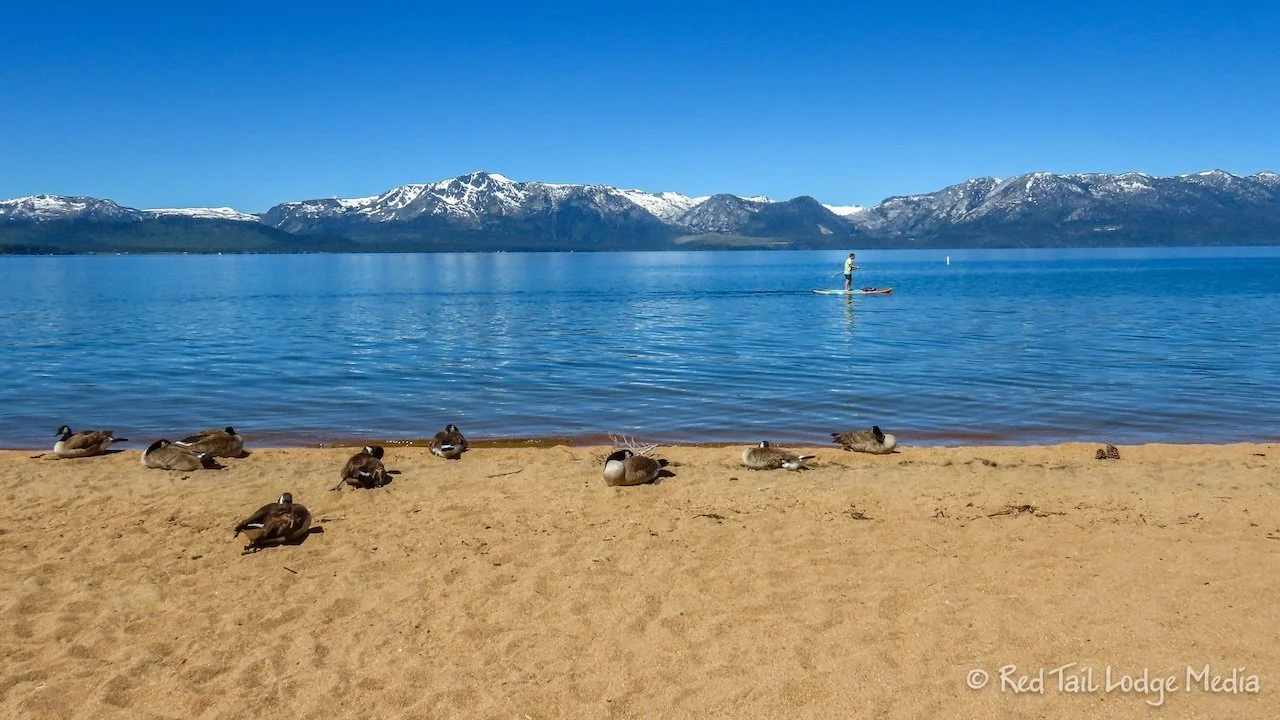
Luckily, the campground is set back in the woods, far enough from the highway that the trees muffle the sound of the traffic. Nevada Beach seems like a little oasis from the hustle and bustle of the town. The small campground is nestled in the trees, with a short walk to the large beach along the lake.
We arrived around dinner time. Luckily, we had leftovers that we reheated for dinner, so we didn’t have to cook. After dinner, we both walked over to the beach to check it out, then Ann went for a walk to close her exercise ring. Keith went back to our campsite. He just likes to chill after a long day of driving.
Ann walked up and down the beach, then ventured down some of the nature trails in the woods and meadows. It looked like there were kayaks that could be rented. The lake looked too big and rough for the paddle board. The sign posted near the kayaks showed a paddling trail that stayed close to the shoreline.
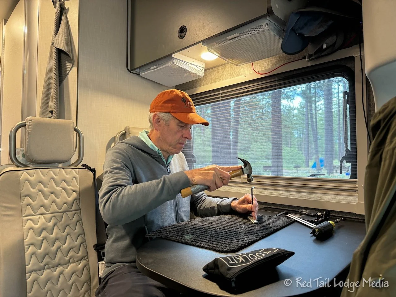
After a long day of driving, we relaxed the next morning. Keith replaced the window hinges with thumb screws. He followed James’ directions from the FitRV. He already did the bathroom window before we left home for the season, just to make sure he knew how to do it and had all the parts and tools he needed. However, he didn’t have all the same tools with him, so the first one took a little longer as he figured it out. He did the bedroom windows in the morning, then the remaining two windows later in the day.
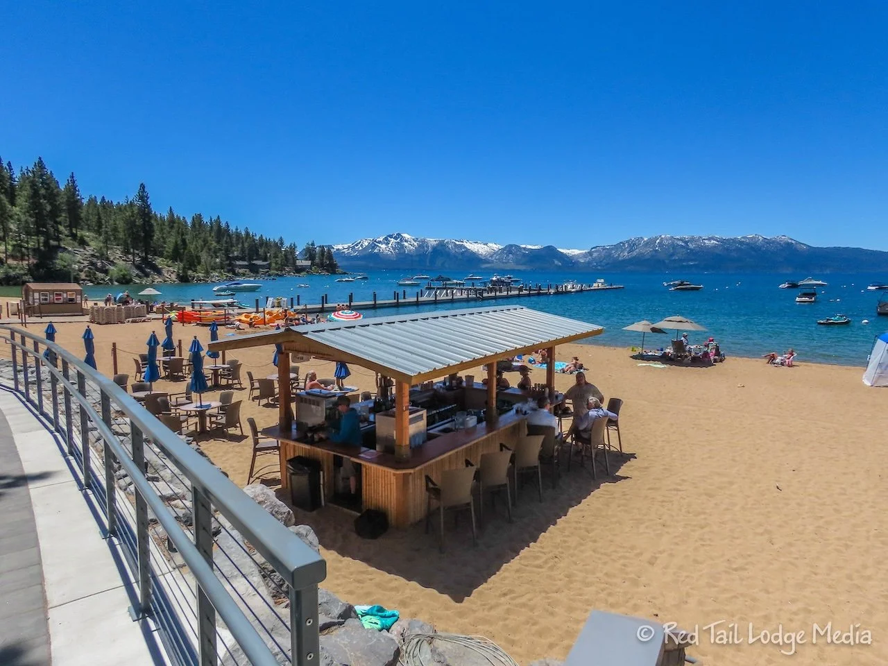
In the afternoon, we went for a hike, right from our campsite. We followed an AllTrails route called Nevada Beach and Round Mound Trail. The trail first took us over to Round Hill Pines Beach Resort, which is also National Forest property, but run by a private operator. The resort included a dock, boat rentals, a snack bar, and beach umbrella rentals. A boat tour on the Serenity Yacht also started from the dock there. We made plans to do the tour the following day. It was a little pricy, almost $100 per person for a 2.5 hour tour, but heck, you only live once.
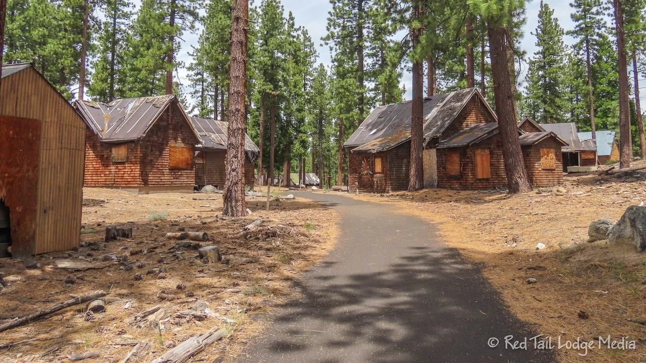
Along the trail were abandoned cabins. The property used to be a resort before the National Forest purchased it in 1984 from the resort that went bankrupt in 1969.
On the way back from Pines Beach, we headed up to the top of Round Hill. We didn’t bring trekking poles and we started to regret it. Unlike the nice paved path we were on for most of the hike, the trail up to the top was dirt and steep. However, we managed just fine.
There were great views from the top. Ann scrambled up on top of a rock to get a better view. As she bent over, her water bottle slid out of the pouch of her pack, directly onto her hand, smashing it against the rock. Keith asked if she thought her hand was broken. She replied that she didn’t know yet. As with most injuries, it’s hard to tell how serious it is immediately afterwards. After about a minute or two, the pain started to subside. When she’s broken bones in the past, she normally gets a little faint afterwards. She didn’t feel faint, so she concluded it wasn’t broken. Just in case, we started descending back down the hill. Ann kept her hand elevated, just in case it wanted to swell. The water bottle left a circular arc on the back of her hand. By the time we completed our hike, a bruise showed up on her palm. Her hand never did swell up. She was fine. She will try to remember to secure her water bottle the next time she decides to start scrambling up rocks.
The rest of the hike was pretty flat, winding through the woods and through meadows, part of a nature trail with interpretative signs along the way. By the time we returned to our camp site, we had gone 5.5 miles with an elevation gain of 653 feet in two hours and 15 minutes. It was hike number 24 of our 52 Hike Challenge for 2024.
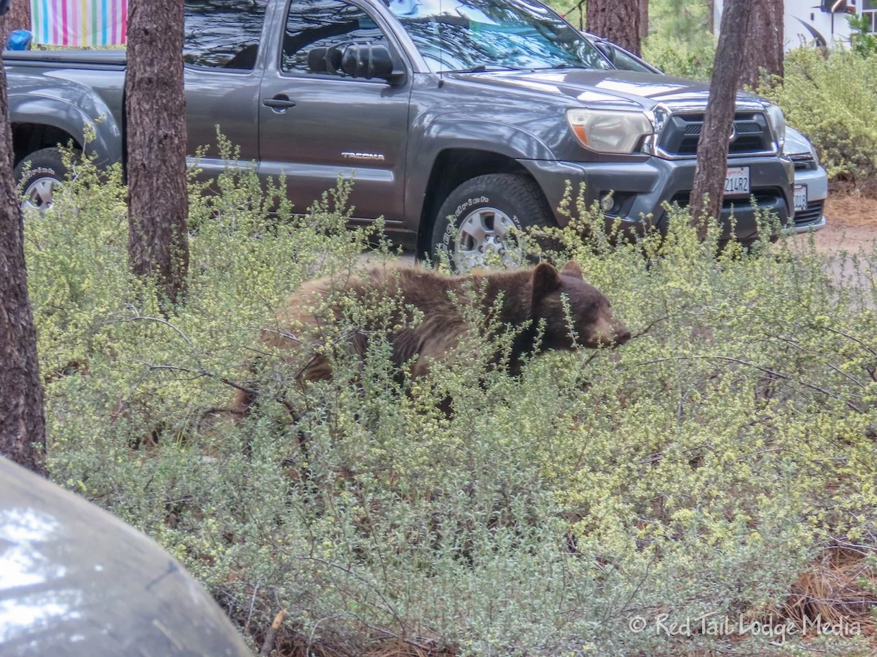
Later that afternoon, Ann was sitting outside at our camp site, working on her laptop. She was concentrating on what she was doing. Some people on the path about 30 yards from our site were yelling. She blocked out the yelling, but then it finally registered what they were yelling. They were trying to warn her that there was a bear. Instinctively, she put down her laptop and grabbed her camera (which is usually by her side) and cautiously walked to the end of Red Tail to see the bear. It was right behind the bear box in our site! OK, that’s a little too close. The bear moved on and Ann circled around the RV to the other end, just in time to see the bear cross the campground road. The bear did not seem threatening. It was slowly strolling through the campground, with people sitting next to their RV’s, watching the events unfold. The bear meandered off and Ann resumed her work on her laptop. What a special little experience and excitement for the day.
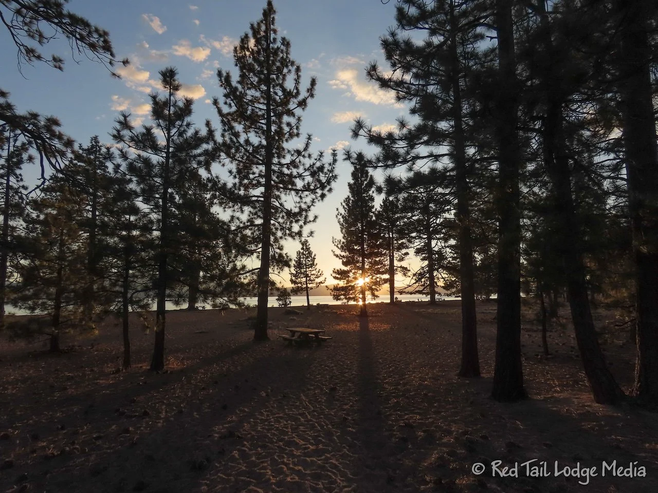
After dinner, Ann walked down to the beach to watch the sunset. She didn’t linger long as it was a cool day. Temperatures barely reached into the 60’s during the heat of the day. Keith didn’t even come along because he was already cozy and comfortable inside and didn’t want to come out in the cold.
Tuesday was sunnier, warmer, and less wind. The lake was calm. As a result, there were more people on the beach and more people kayaking and paddle boarding.
After lunch, we walked over to Round Hill Pines Beach RV Resort for our 2 pm yacht cruise. The dock was about a mile from our campsite. It was about a 25 minute walk. When we arrived, we stopped at the snack bar and had a soft serve pineapple cone. The serving size was a little small, but they were tasty.
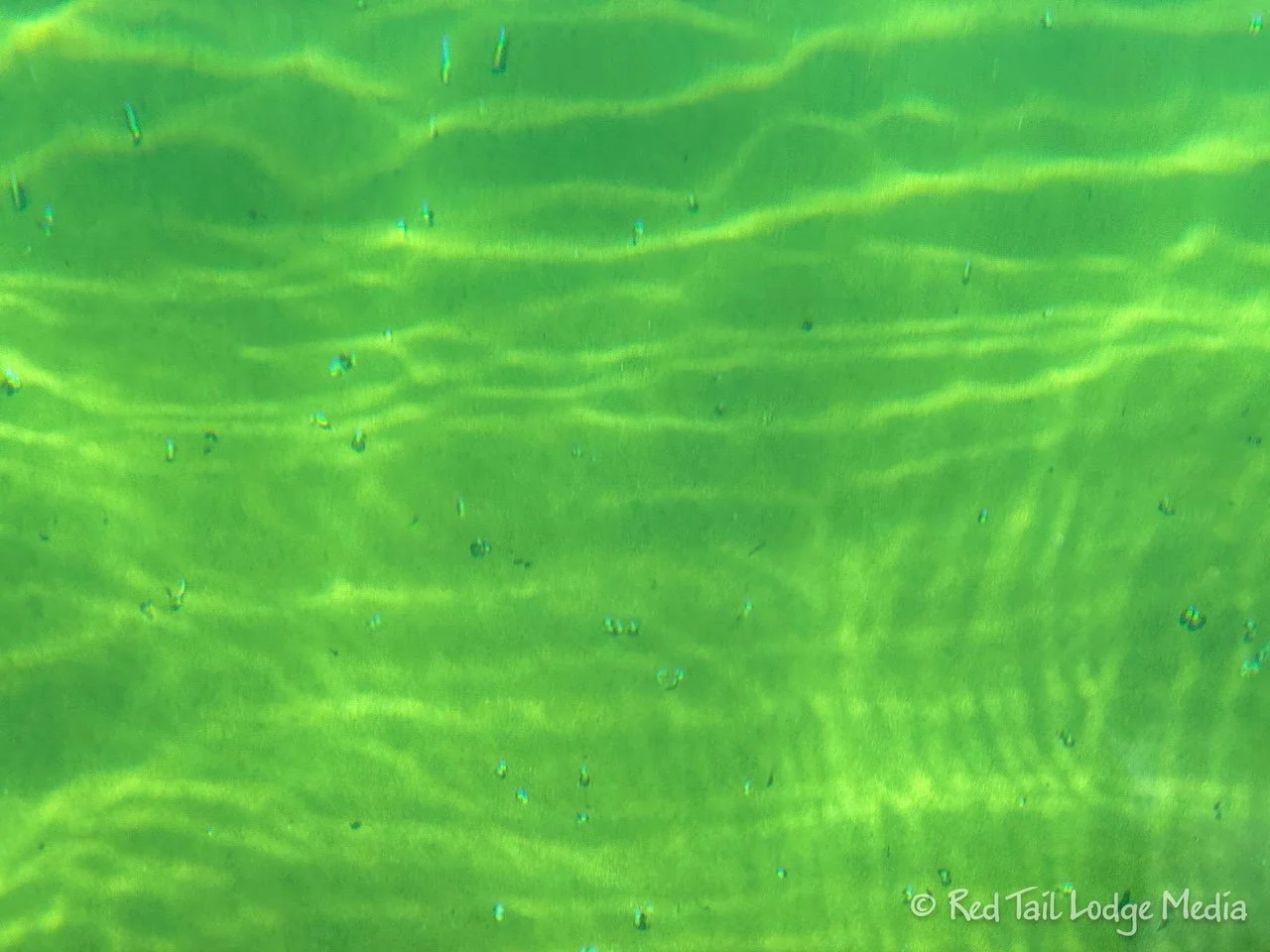
We don’t know how many people are usually on the cruise, but there were only about a dozen of us this time. While we waited to board, we watched schools of minnows swimming around in the crystal clear water of the lake.
The cruise crosses the lake over to Emerald Bay, so most of the cruise is in open water. As the boat pulled away from the shoreline, the large casinos and resorts were swallowed up by the forest. From the middle of the lake, most of what we saw was a shoreline of trees with snow-capped mountains rising up out of the forest.
Emerald Bay is a protected bay and is popular with kayakers and paddle boarders. The bay is surrounded by Emerald Bay State Park. At the end of the bay is a large waterfall. On the shore is Vikingsholm Castle, which is a mansion, a fine example of Scandinavian architecture, built in 1929 as a summer home for Lora Josephine Knight. She also built a small teahouse on Fannette Island, a small island in the bay. There are tours of the mansion during the summer. Only the stone structure of the teahouse remains and can only be accessed by watercraft.
To reach the mansion, there is a parking lot along the highway with a one mile hiking trail down to the bay. No vehicles over 18 feet long are allowed in the parking lot. Not far down the road is some National Forest parking, but we’re not sure what the length restrictions are for that. Be forewarned, it is a 400 foot climb back up the hiking trail, should you venture down.
On the shoreline as we left the bay, we caught a glimpse of the head of an osprey in a nest. There were several other nests, but we didn’t see any activity around them.
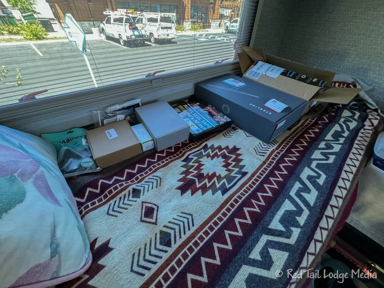
Wednesday we went for a drive. Our original plan was for Ann to try paddling on Fallen Leaf Lake. First, we drove to Carson City, about 30 minutes away. Keith had ordered some parts for the Starlink install. Most of them were delivered to an Amazon locker in South Lake Tahoe, but one of them could not be picked up at a locker. So Keith found a Best Buy in Carson City.
After picking that up, we stopped at the Whole Foods back in South Lake Tahoe for the rest of the parts. While we were there, Ann did some grocery shopping. After driving through town, we got a better appreciation of the area than our first impression. Yes, there are high rise buildings on the Nevada side. Yes, highway 50 is a busy four lane road through the middle of town. But it wasn’t as busy as when we first arrived. The traffic the first day must have been due to the end of the weekend, compounded by a lane closure due to construction.
It looked like the buildings in South Lake Tahoe on the California side adhered to some type of building codes, where the number of stories were limited and the architecture was appealing. A pedestrian and bike path followed alongside the highway. It was probably a nice place to stroll and shop, especially if you were staying in one of the many lodging options in town. However, it was not inviting for an RV to park, so we didn’t stop to check out the shops.
Then we headed over to the National Forest Taylor Creek Visitor Center. They were not that familiar with paddling on Fallen Leaf Lake, but seemed a little concerned about driving an RV down Fallen Leaf Lake Road. We tried it anyway, since there is a campground on the lake that allows RV’s.
The road was narrow, but we had no problems, as long as we went slow to avoid the potholes and cars coming the other direction. When we reached the campground, there was a day use area which charged a fee. However, the person at the booth told us that our rig was too big to go into the day use parking lot and that it was pretty full already. Luckily, the folks at the Visitor Center said that many people put paddle boards in at Kiva Beach on Lake Tahoe, just on the other side of highway 89 from Fallen Leaf Lake.
The parking area at Kiva Beach was free of charge and a short walk from the beach. Ann got her board out and was on the lake a little after 2 pm. While Ann was paddling, Keith worked on the Starlink install. He didn’t complete everything, but he made good progress. He mounted the router and power supply on the wall between the two bedroom cabinets. He also installed a quick connect in the cable box on the roof. That way we can disconnect the outside cable from the roof box and store it inside, out of the weather.
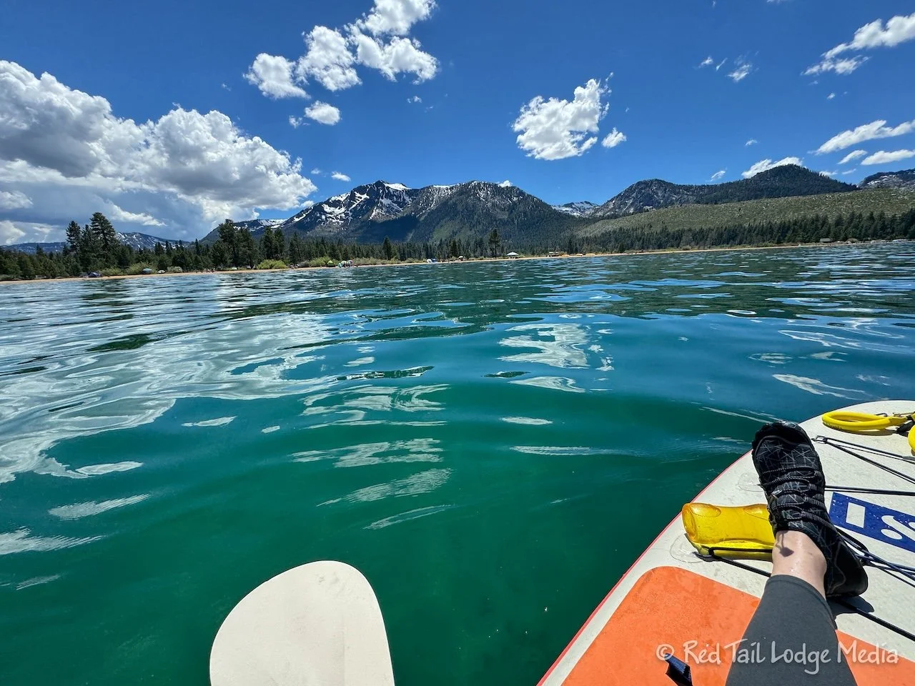
Ann was out on the water for about an hour and a half. The water seemed pretty smooth, but the wake from passing boats would pass through often. Ann tried several times to stand up on the board, but never succeeded. Either she’s lost her nerve or the water was rougher than it looked. The last time she fell on the board, she hurt her back. Plus, the water was pretty cold. She really didn’t want to fall in. But she had a good time just kneeling on the board and paddling up and down the shoreline.
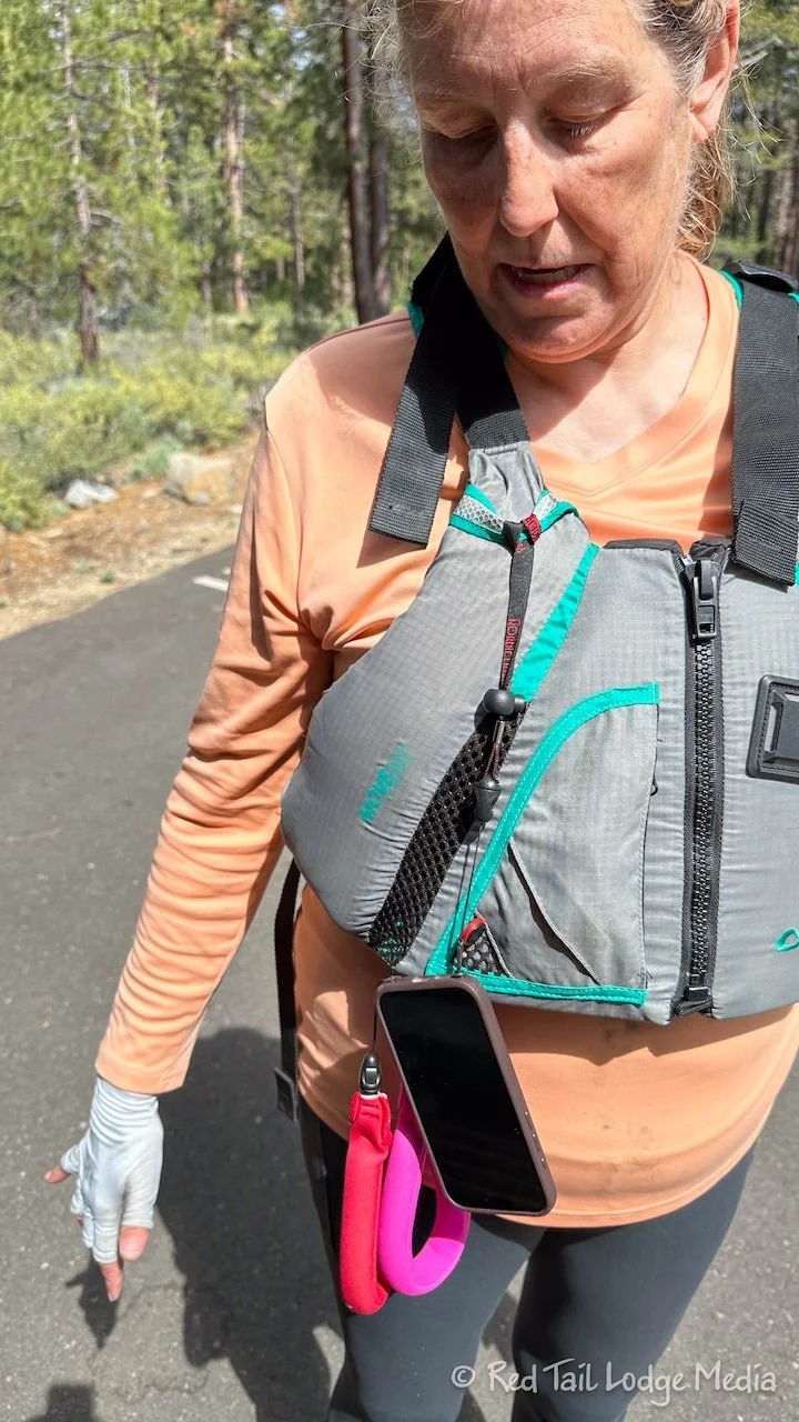
This time, she tried a different setup for her phone. Instead of attaching it to her wrist, she attached it to her life vest. She liked that arrangement much better. The phone was more out of the way, but still readily within reach. It didn’t bang against her paddle or wrap around it like when it was dangling from her wrist.
The water was crystal clear. She doesn’t know how deep the water was, but she could easily see the bottom. If it was over her head, it wasn’t by much. She thought she would spy at least one fish while she was out on the water, but she didn’t see a single one. The only things she saw on the bottom were rocks, some logs, and some litter, like beer cans.
As she pulled back onto the beach, Keith was standing there. He was relieved to see her. He came over to the beach earlier and didn’t see her out on the water. She must have been around a point, out of sight at the time. He came back over because he heard a thundercloud approaching. Ann didn’t notice the threatening clouds, nor hear the thunder. She carried her gear back to Red Tail and hosed everything down, just before it started to rain. She moved most of the gear under our rig, in an attempt to keep it somewhat dry. The board itself wouldn’t fit under the RV completely, so both ends were sticking out. Then it poured down rain for about half an hour.
When the rain let up, Ann went outside to inspect the damage. The gear didn’t get soaked, but it all had dirt from the parking lot splashed up on it. So much for cleaning everything off! It was getting late in the day, and we didn’t want to hang out there too much longer, waiting for everything to dry. So we partially deflated the board and threw everything inside Red Tail so we could drive back to the campground. Back at camp, Ann re-inflated the board so she could hose it down again and let it dry. By the time we went to bed, the board was not quite completely dry yet, so we left it outside all night.
Thursday was a travel day, from Nevada Beach Campground on Lake Tahoe to Manzanita Lake Campground in Lassen Volcanic National Park. Before leaving town, we took care of errands. We stopped at Safeway for groceries and the gas station next to it. We thought gas would be cheaper in Nevada compared to California. Well, it wasn’t really. Even though the station we went to was in Nevada, it was only ten cents cheaper per gallon than the stations in South Lake Tahoe across the border in California. And it was more expensive than the gas station we would go to later that day in California. We tried filling up our propane at a U-Haul, but their propane tank was out of order. Our last errand was stopping at the Ace Hardware for one last part for the Starlink install.
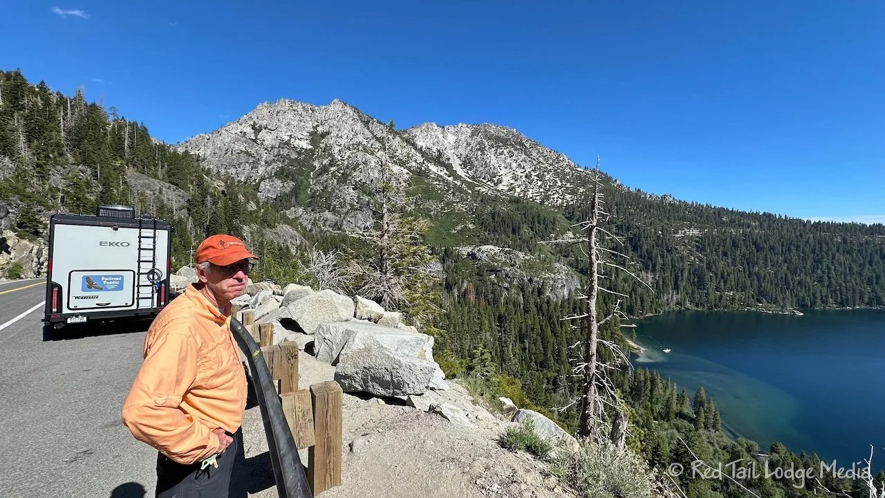
We left South Lake Tahoe by heading north on route 89, along the west side of Lake Tahoe. After passing the Kiva Beach area and the National Forest Visitor Center, where we were the day before, route 89 enters Emerald Bay State Park. The road climbs up high so there is a nice view of the bay below. However, you can’t see the mansion nor the waterfall from the road. We knew we couldn’t stop at the Vikingsholm parking lot due to vehicle length restrictions, but we were hoping we could stop at the National Forest parking spots. Even though it was about 9:30 in the morning, there were no spots available, so we drove on.
There are several small communities along the west side of the lake. Each of them either had a small marina and/or beach area. None of them were enticing enough for us to stop and explore them.
And that ended our experience at Lake Tahoe. Despite having no plan, we feel like we got to know the area. It is a beautiful lake with a mix of wilderness and a busy, touristy city.
Check out our related video: Lake Tahoe, California
(Ann)


