Chicken, Alaska - June 22nd to 23rd, 2022
Chicken, Alaska, is about as small as towns get. Well, it’s not actually a town, but known as a census-designated place (CDP) with a population of only 12 people (according to the 2020 census). Chicken may be small, but it is full of character. It is a mining outpost and a great place to stop after crossing the U.S. border when coming from Dawson City in the Yukon Territory.
We drove over the Top of the World on Wednesday, well at least on the Top of the World Highway. The rumor was the road is pretty rough, dirt and gravel most of the way. There was also information indicating that there can be long lines waiting for the George Black Ferry to cross the Yukon River at Dawson City in the morning, sometimes up to several hours in the morning. We woke up a 7 am, ate a quick breakfast, packed up, topped off our gas at the station in town, and got in line for the ferry by 8:30 am.
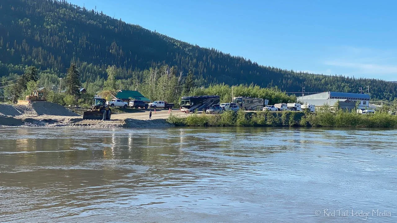
There are three separate lines for the ferry, one for small vehicles (<24 feet), one for RV’s, and one for semi-trucks. When we arrived, there were only three RV’s in line. We qualified for the small vehicle line so we were first in that line. Right when we got there, two of the RV’s loaded onto the ferry. While the ferry was en route, a front-end loader was working the gravel ferry landing while dump trucks drove in to dump more loads of gravel. By the time the ferry returned, about ten minutes later, the lines were a little longer and included a semi. They loaded us and another small vehicle, along with the semi onto the ferry. We didn’t have to wait very long at all!
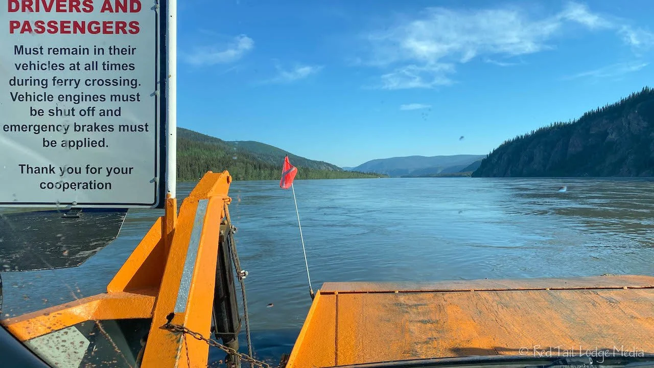
When the semi drove onto the ferry, we could feel that end of the ferry sink down from the weight. It seemed like the ferry struggled a little bit to pull off of the landing, as it probably was sunken a little into the gravel. It only takes a few minutes for the ferry to cross the river, so we were across well before 9 am. Great!
We heard about the paddlewheel graveyard just past the Yukon Government Campground along with a view across the river to a peregrine falcon nest, so we pulled into the campground to check it out. According to the campground map, there was a small day use parking area at the other end at the group campsites. From there was a 350 meter trail over to the paddlewheel graveyard. We struggled to find the trail. We found an overgrown trail that led to on overgrown creek crossing. It looked like the hike would require waterproof boots and some bushwhacking to reach the graveyard. We decided to pass. Back closer to the entrance of the campground is another day-use parking area across from a viewing deck. We stopped there to see if we could spot the peregrine falcon nest. However, it was probably the wrong time of day to be looking. The view of the rocky cliffs on the other side of the river was rather hazy and the cliffs were in shadow. We moved on.
At the visitor’s center the day before, we picked up the map for the Orchid Acres Trail. The trailhead is about a mile down Sunnydale Road, the same road the Dawson Golf Course is on. The turn off for Sunnyvale Road is just a couple of miles up Top of the World Highway from the ferry. The Orchid Acres Trail was more successful. The loop trail is only 2 kilometers long (a little over one mile). The trail is mostly through the woods, passing by several patches of the Spotted Lady’s Slipper orchid. There are interpretative signs along the way. A couple of viewing platforms provided views over the Yukon River valley. A short but enjoyable hike. Yes, there were mosquitos, but they didn’t bother us much while we were moving. Keith was thankful that they kept Ann’s picture taking to a minimum.
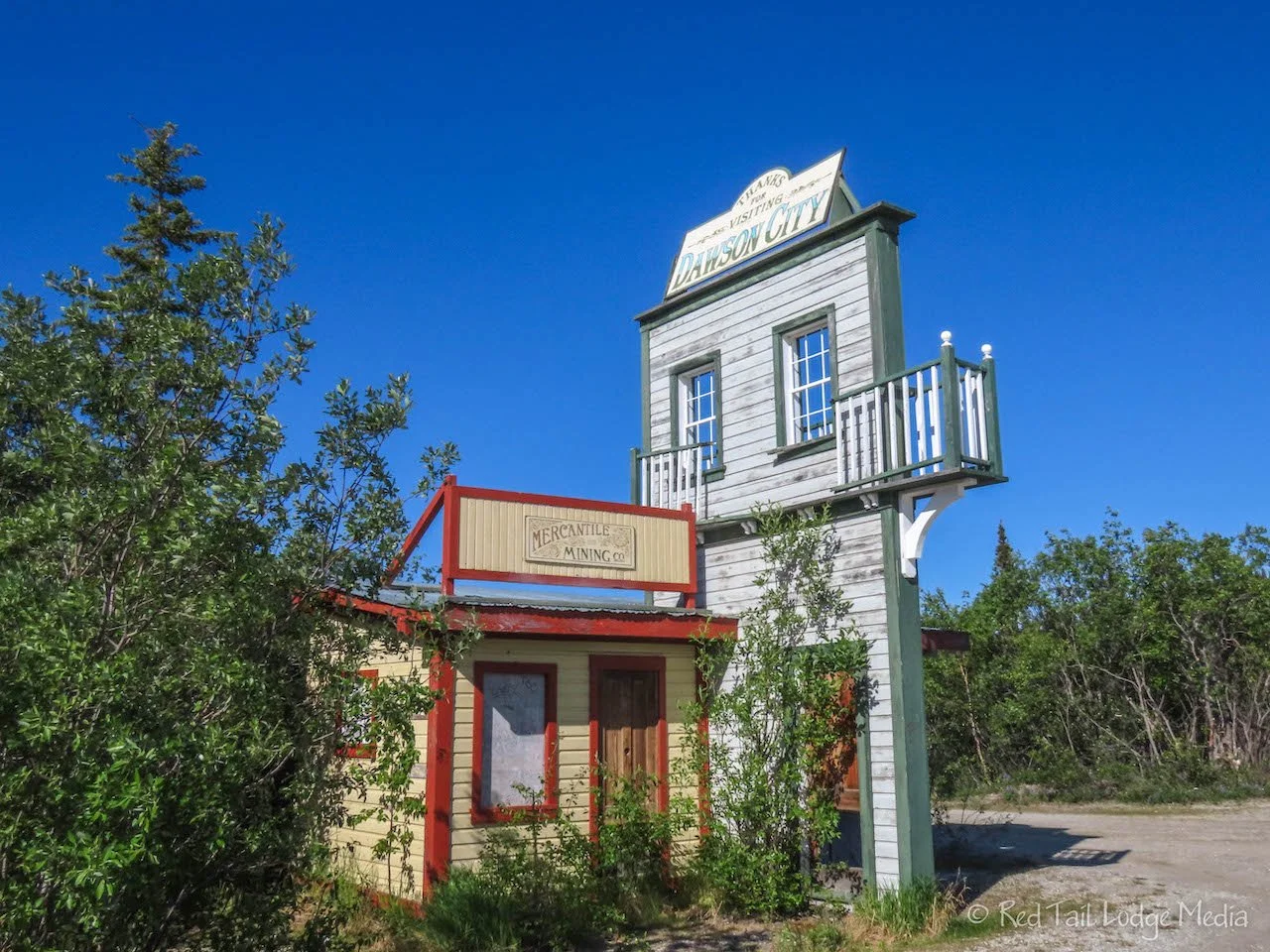
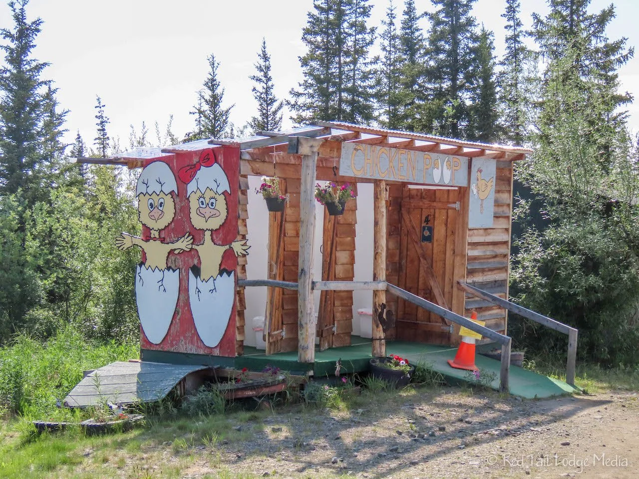
The rest of the day was spent driving to Chicken, Alaska. There are only two rest areas along the way, so if you are relying on them for bathroom breaks, don’t miss them! The first one has a cute Welcome to Dawson sign on top of a couple of fake buildings. There is also a viewing platform that is hard to find, but the view was not all that great.
Between the two rest areas, we stopped at a few of the turn outs. Thankfully it was a sunny day, a nice change from the past couple of rainy days. We ate lunch at the second rest area, but, unfortunately, there isn’t much of a view from the rest area. There are some remains of an old supply cabin, but it was not much to look at.
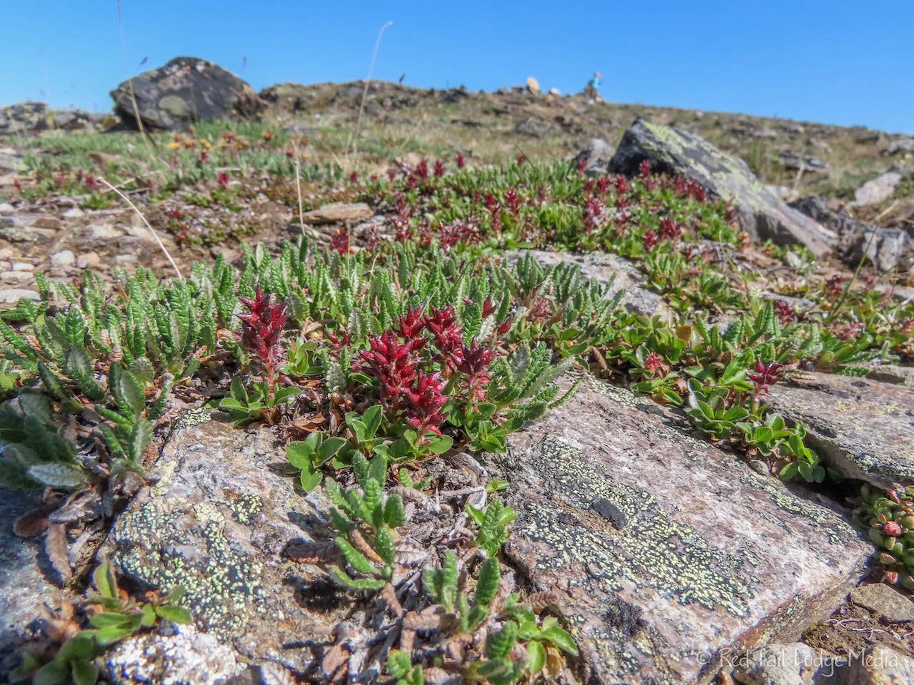
The stop we enjoyed the most was the large pull out just before the border crossing, at mile marker 64.7 (104.5 km from Dawson). There are views of the customs buildings along with great panoramic views. Across the road is a short climb up to a large cairn (pile of rocks). The climb is worth the view. As a bonus, there are a variety of tiny tundra flowers alongside the trail. This is the highest point along the Top of the World Highway.
The border crossing went quickly and smoothly. The customs officer just asked us a couple of questions before letting us through. As we were putting our passports away, we almost missed the Davis Dome Wayside. This is another worthy stop. There is a nice Welcome to Alaska sign with a great view. Of course we took a selfie in front of the sign.
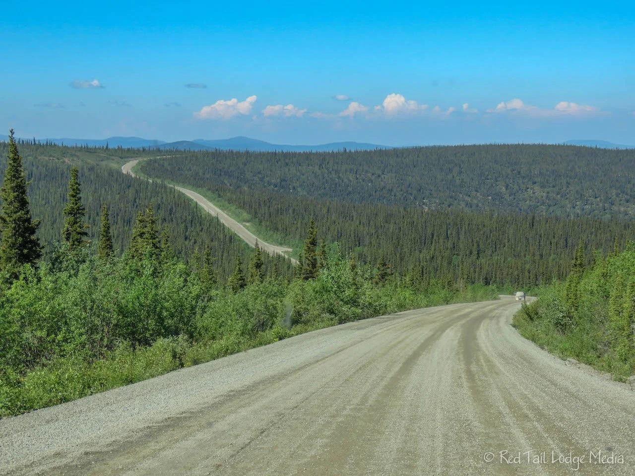
The road was paved briefly from the border until it met up with Taylor Highway. Once you cross the border, the name of the highway changes from Top of the World to Boundary Spur Road. Thirty miles later, the spur road intersects with the Taylor Highway. To the right, the highway goes to Eagle. To the left, the highway goes to Chicken and beyond. On the Taylor Highway, we found ourselves on gravel again. Instead of the wide-open views of the Top of the World Highway, the Taylor Highway winds its way as it descends into valleys, following a stream most of the way. Very scenic. The color of the water of the stream was very dark brown. We’re guessing it is that color from the tannins of the trees, just like we saw at Tahquamenon Falls in the Upper Peninsula of Michigan the year before (Tahquamenon Falls State Park, Michigan - July 19th, 2021).
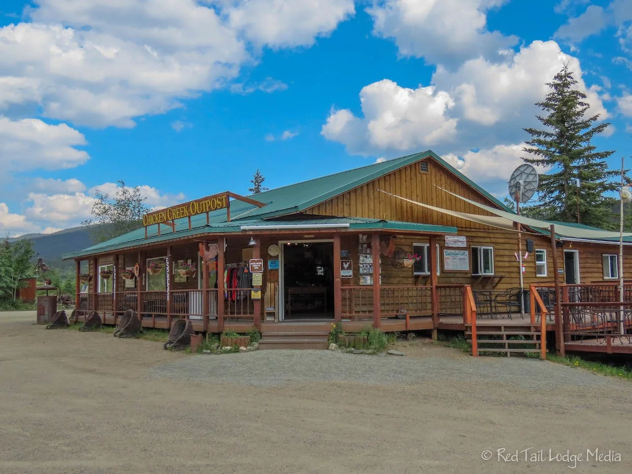
It was mid-afternoon by the time we reached Chicken. After checking in to Chicken Gold Camp, where we had reservations, we walked back to the campground café for ice cream, hand-dipped ice cream! After our treats, we walked around to check things out.
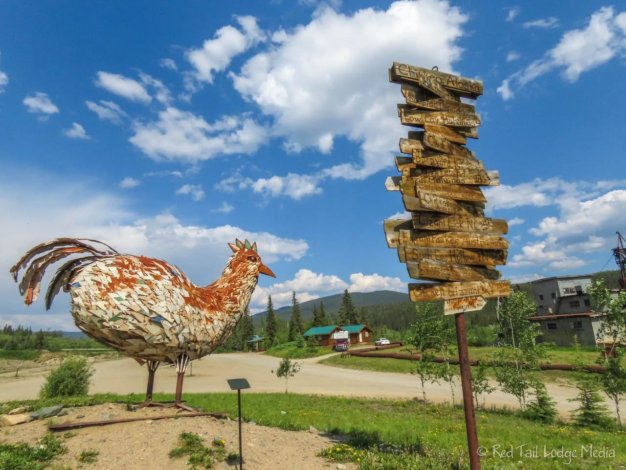
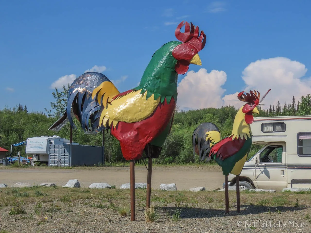
Chicken Gold Camp is a simple campground with some character. There is a large chicken made out of metal just to remind you where you are. Next to that is the Pedro Gold Dredge. The dredge is a National Historical Site. Guided tours are available through the campground office. Since we already had a tour of a dredge, Dredge #4 on Bonanza Creek near Dawson City (Dawson City, Yukon Territory - June 20th to 21st, 2022), we opted to just admire this one from the outside.
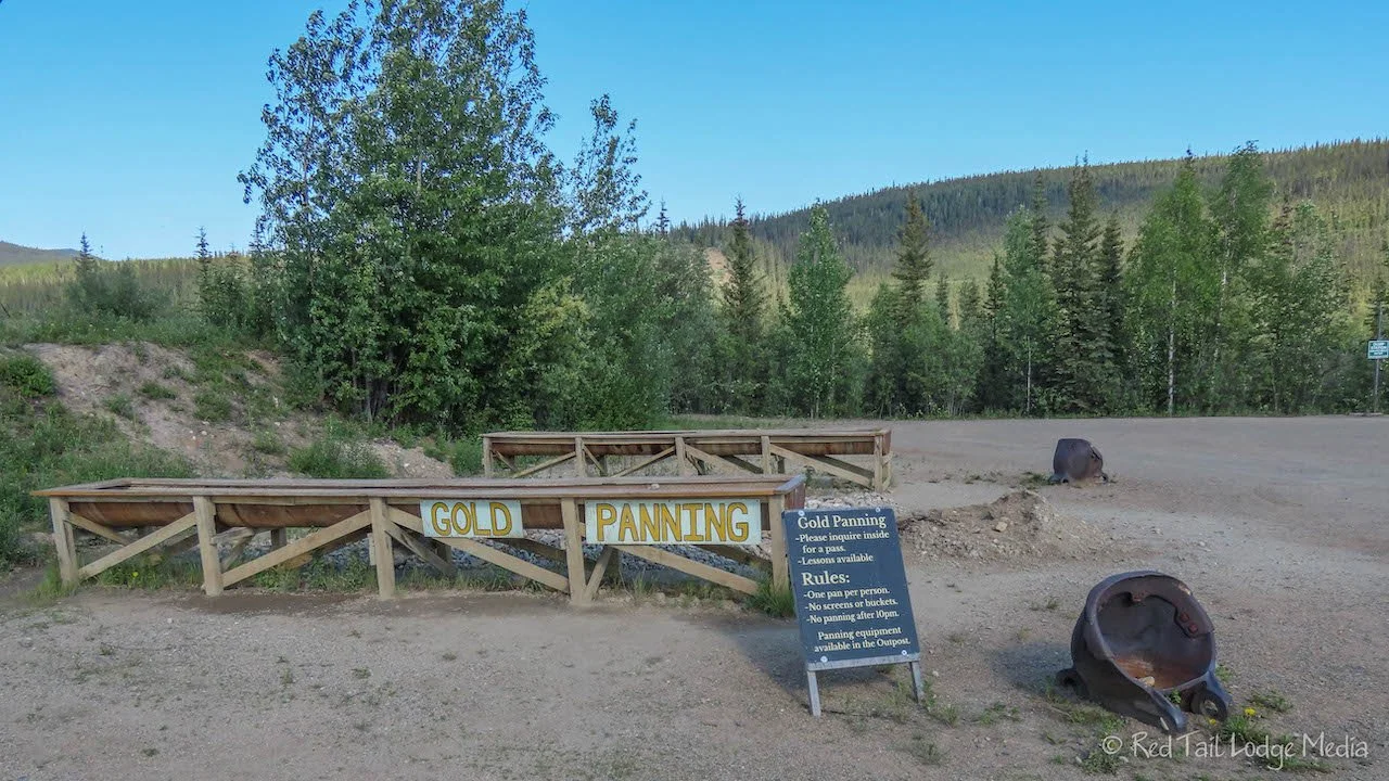
The main attraction of the campground and the town is gold mining. The campground has an area to try your hand at gold panning. They even offer lessons on how to pan. They also have a mining claim that you can go and try your luck at panning. For some reason, gold panning just doesn’t have much of an appeal to us.
Chicken Gold Camp is also the sponsor of the annual Chickenstock Music Festival. It is held the second weekend in June, so we missed it by a couple of weeks. From what we hear, the tickets sell out fast. The music stage looked very interesting. Two old military trucks were used as part of the support structure.
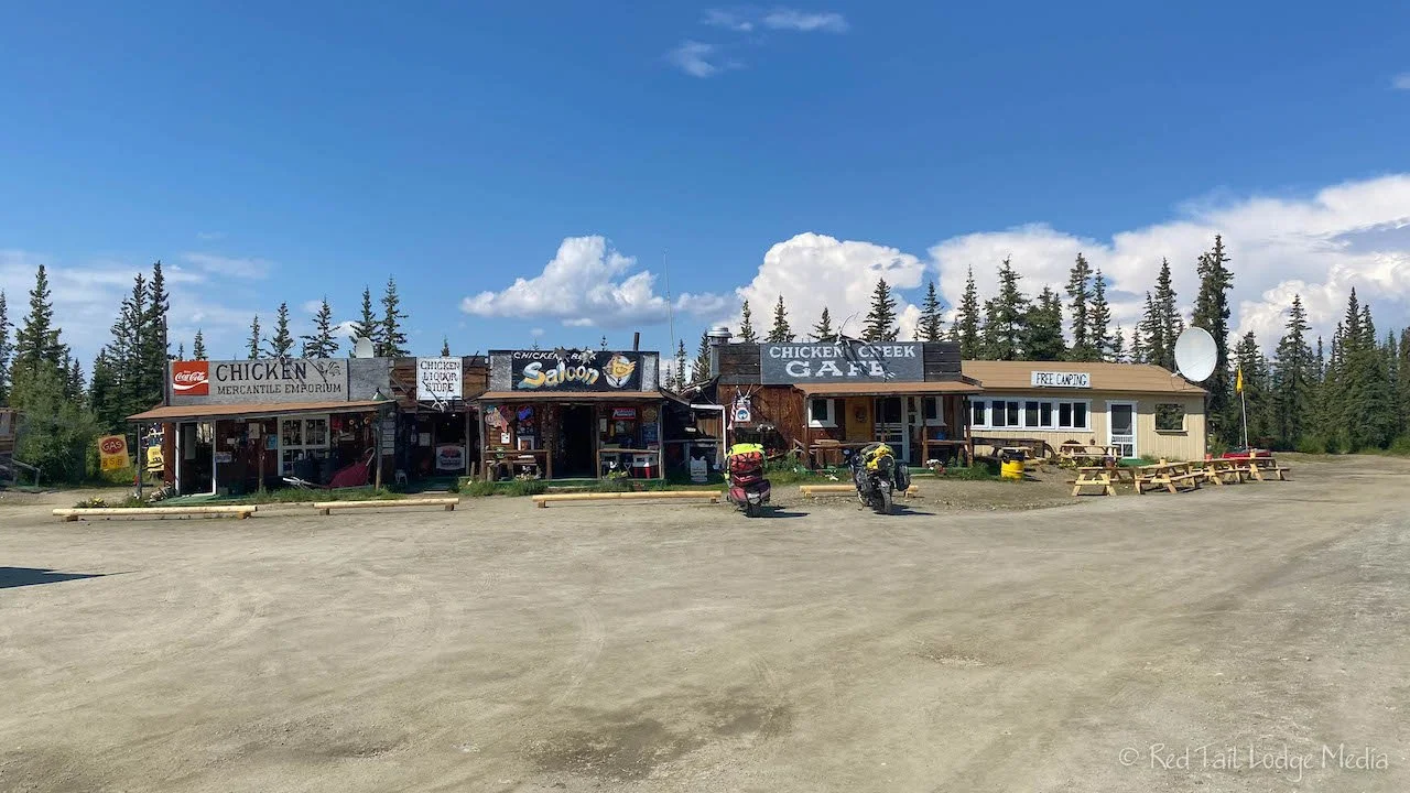
A short walk back up Airport Road is Downtown Chicken. That’s what they call it, but it is just one building that houses the Mercantile Emporium (gift shop), the liquor store, the Chicken Creek Saloon, and the Chicken Creek Cafe. It was the only building we saw that is not on the property of the two campgrounds in town. They also have a single gas pump, selling gas for $5.59 per gallon.
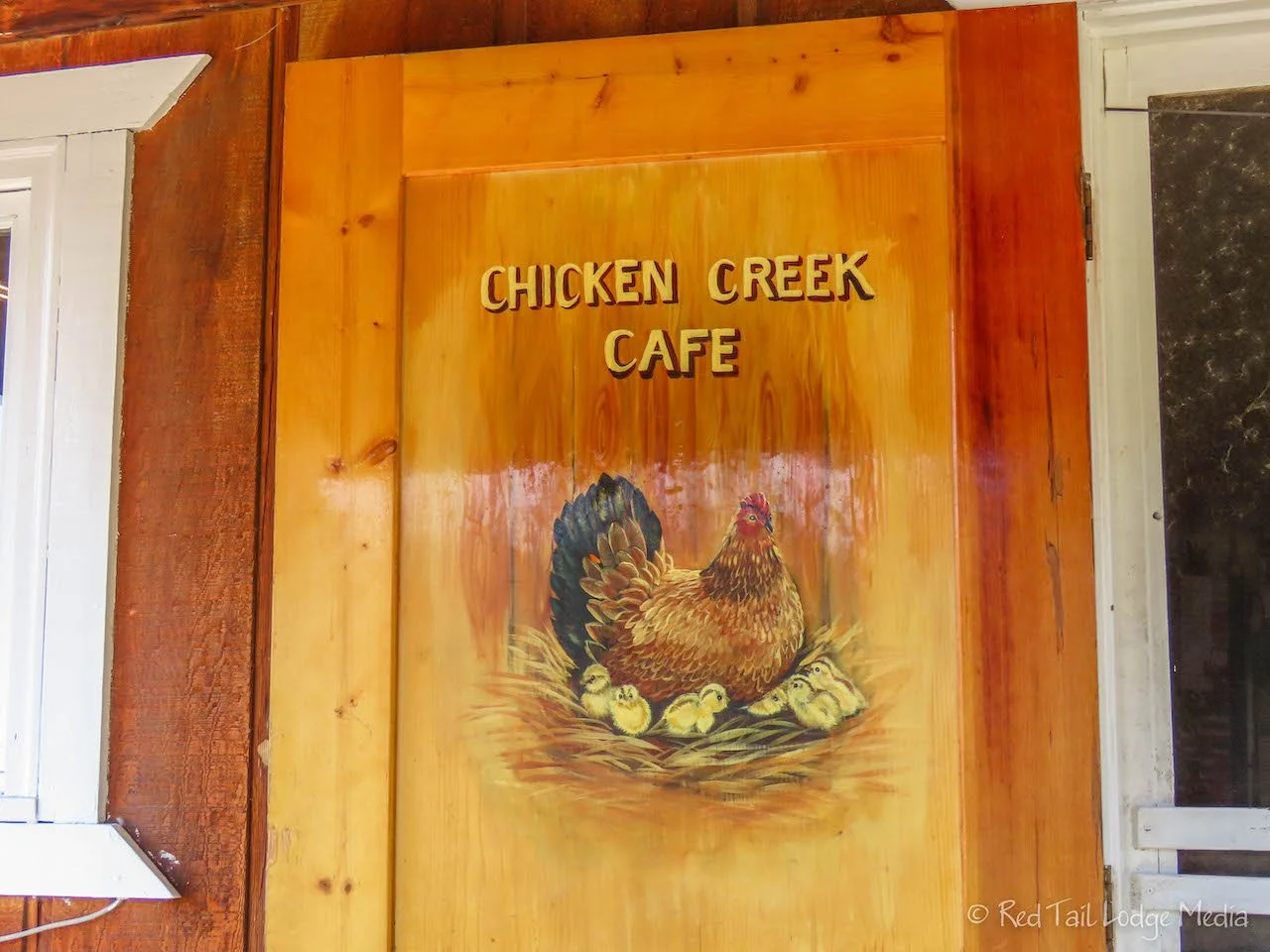
We walked into the Chicken Creek Cafe. It was only 3:45 pm, but the cafe was closing at 4 pm. Some limited items were available afterwards in the saloon, but Ann was eyeing the elk bratwurst for dinner, which was not one of the items offered in the saloon. Since it was 4:45 pm Yukon time (we gained an hour when we crossed the border), we decided to have an early dinner. There were no grocery stores in the area and we didn’t have much in the van to make dinner with. Pasta is usually our standby meal, but we were out of cans of tomato sauce, bad planning on our part.
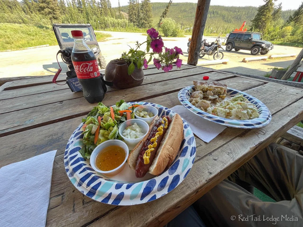
Ann ordered the elk brat with a side garden salad while Keith had the chicken pot pie with slaw. The food was delicious. They also had homemade pies that looked good, but we controlled ourselves this time and skipped dessert. We hadn’t done enough walking during the day to justify eating ice cream and pie in the same day.
Thursday was a relaxing day in Chicken. There was no cell service or internet. Chicken is really small. We walked over to the other RV park to check out their cafe. It was closed. We heard from some other people that they had a short notice that the US-Cananda border was going to open, so they didn’t have enough time to hire anyone to run the cafe.
On the walk back, we stopped in Downtown Chicken. From what we had learned the day before, the saloon makes a limited number of pizzas every evening. They hand make the sourdough crust, so they can only make so many. We asked if they were making pizzas that evening. They said yes and asked if we would like to reserve a couple of pizzas. Absolutely!
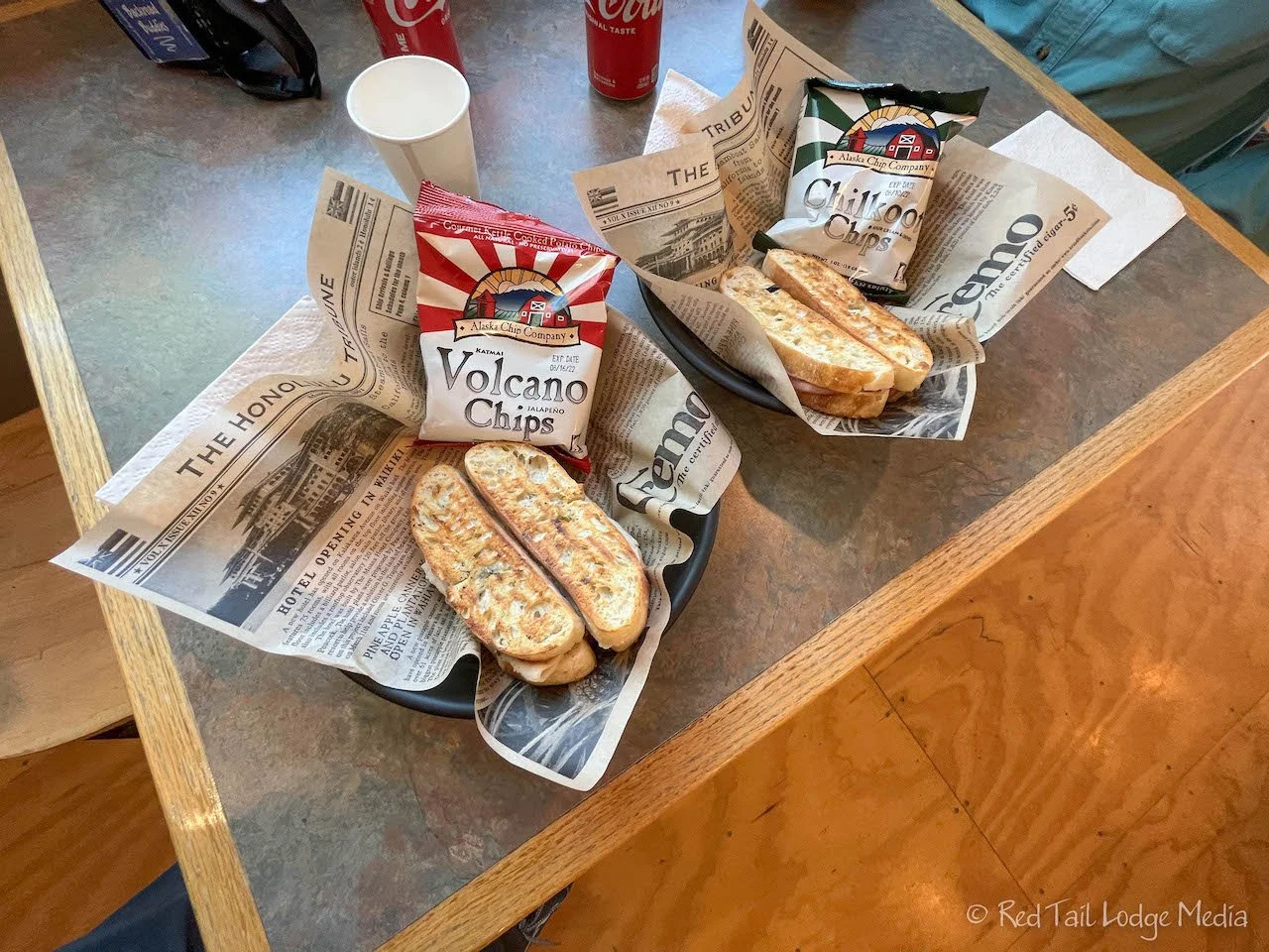
We had lunch back at the cafe in our campground, the Chicken Gold Camp RV Park. They have grilled sandwiches. Ann ordered the Other Bird, a turkey sandwich with pesto. Keith had the Cheechako, a ham sandwich. They were delicious!
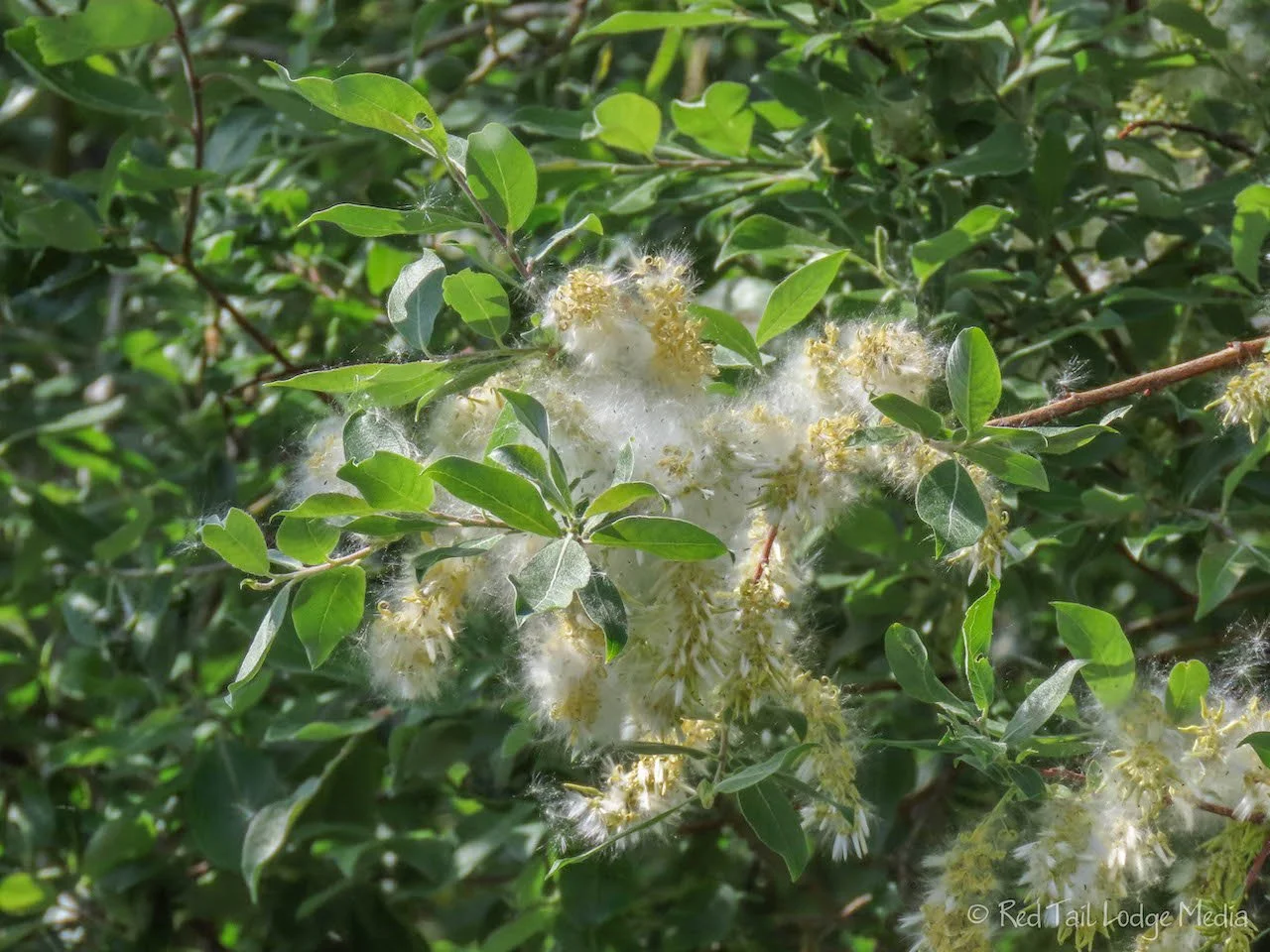
It was snowing in Chicken. Well, not actual snow. It was the little fuzzies, perhaps the same type we saw in Liard Hot Springs. The staff at the cafe believed they come from the willow trees. They said the previous year, the trees shed larger puffs of cotton, but this year they are smaller and more numerous. The “snow” was so thick at times and liked to find their way to our noses. We knew that cottonwood trees produced cotton like that, but we didn’t know willows did as well. According to our research, aspen and poplars are also related trees that produce the white floaties as well. (Allergy for All).
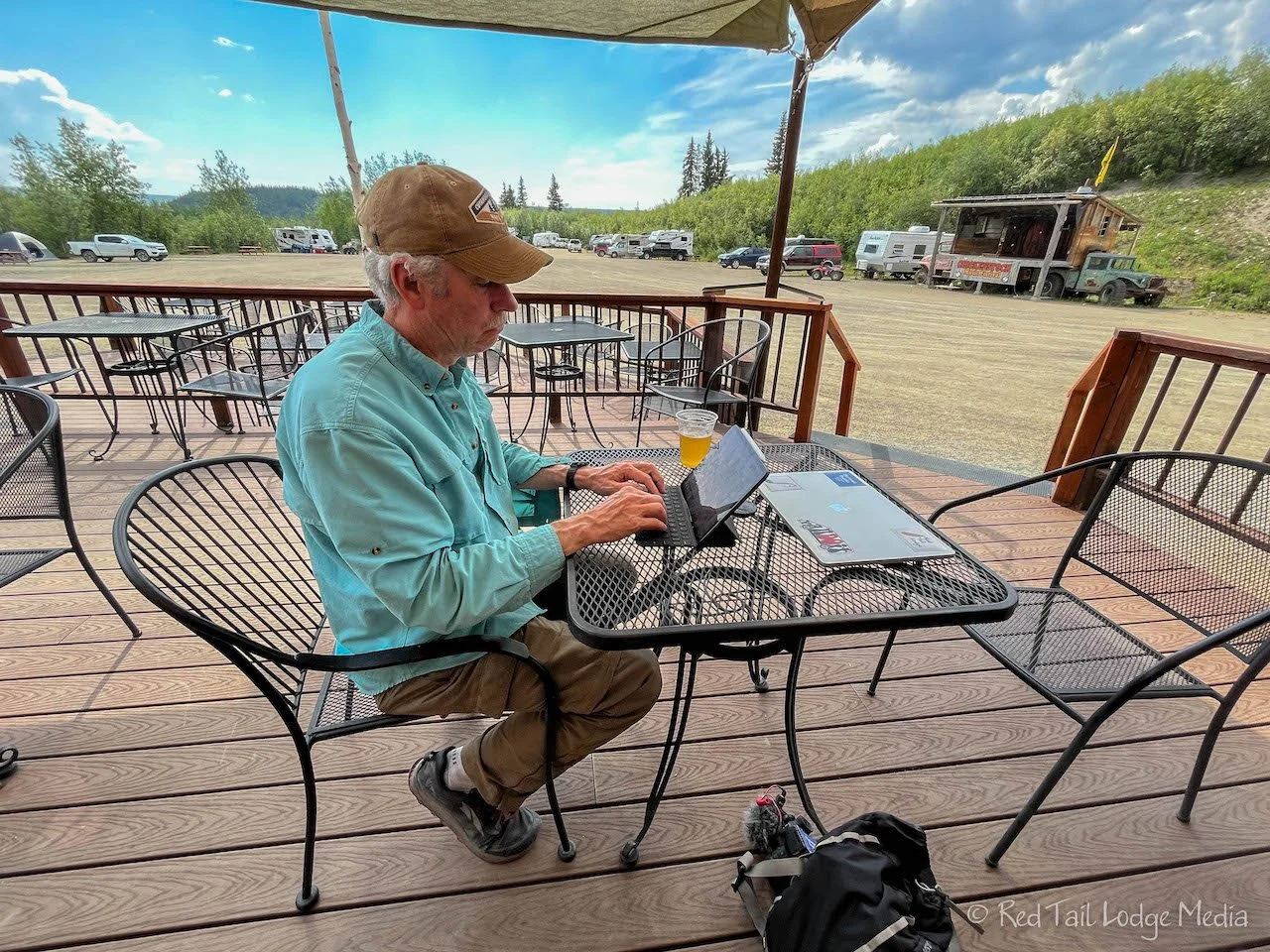
A little later in the afternoon, we headed back over to the cafe with our laptop and iPad to work offline. Keith ordered a beer while Ann enjoyed another ice cream cone from the cafe. We sat out on the deck just outside the cafe. Well, we didn’t get a lot of work done because fellow travelers would stop by and chat with us. We actually enjoyed this better. A few people who stopped were just passing through, getting a refreshment before they continued on their journey. Others were staying in the campground. It was a great way to spend an afternoon.
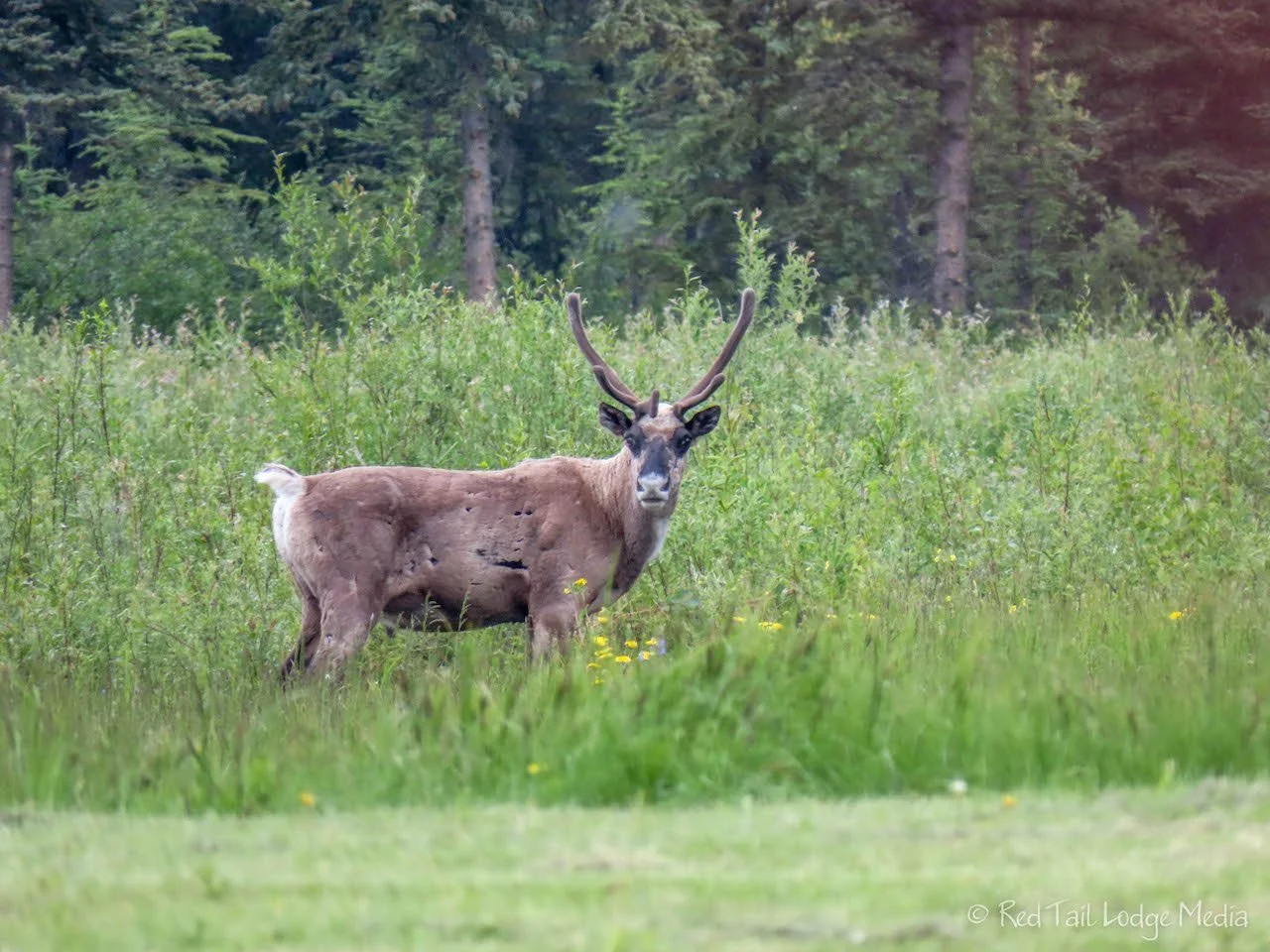
While we were sitting there socializing, a caribou wandered into the meadow nearby. Of course, Ann grabbed her camera and started shooting. The caribou hung out in the meadow for quite a while. He seemed to notice that Ann was looking at him. Even though she was quite a distance away from him, standing on the porch of the building, he kept looking up at her. Perhaps he was just trying to pose for the pictures.
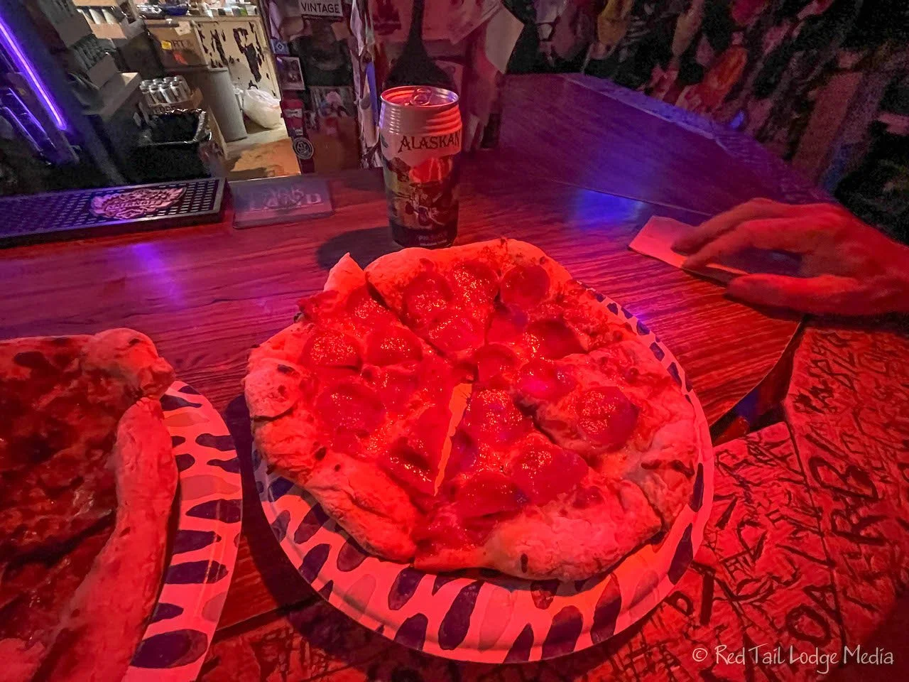
At 6 pm, we headed over to the Chicken Creek Saloon. It was time for our pizza reservation. The saloon was small. Inside the walls and ceiling were covered with ball caps, bandanas, and ladies underwear. On other walls were license plates, patches, and business cards. A couple of patches caught our attention. One was a fire department patch from Vestal, New York, an area we used to live in a few decades ago. The other was a police patch from Broomfield, Colorado, where our home is now.
The pizza was fantastic. There were not a lot of choices for toppings, just sausage, pepperoni, or just cheese. Ann had sausage while Keith had his usual pepperoni. Both were delicious. While we were there, one other person ordered a pizza, then they were out of pizza for the day. It was a good thing we reserved ours!
Even though the main attraction in Chicken is mining, it is also a wonderful stop for people who are not interested mining. We thoroughly enjoyed getting to know this little corner of Alaska, with all its quirkiness.
Check out our related video: Chicken, Alaska
(Ann)

